Bayaguana night lights from space
Night Light of Bayaguana (Monte Plata) from space (Dominican Republic) Src. Average luminocity for 10x10km area is 4.4442% and for 50x50km: 3.9124%.
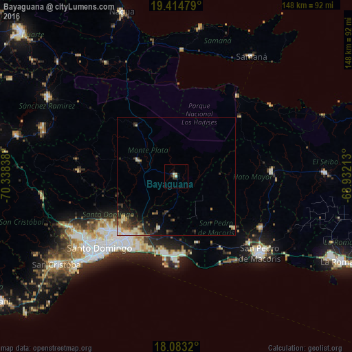
Analysis of Bayaguana night lights 2016
Square area 10x10 km:
 0%
0%90-99
1.24%80-89
0.41%70-79
0.41%60-69
1.24%50-59
0%40-49
0%30-39
2.07%20-29
2.07%10-19
0.41%0-9
92.15%Square area 50x50 km:
0.32%90-99
0.84%80-89
0.58%70-79
0.47%60-69
0.48%50-59
0.4%40-49
0.5%30-39
1.25%20-29
0.98%10-19
1.82%0-9
92.37%Clear (daylight) street map image can be seen on geolist.org.
Map coordinates:
19° 24' 53.2" North, 70° 20' 18.2" West
18° 45' 1.1" North, 69° 38' 6.9" West
18° 4' 59.5" North, 68° 55' 55.7" West
Some cities around Bayaguana sort by population:
• Santo Domingo Este
37.3 km =23.2 mi,  218°
218°
• Boca Chica
33.6 km =20.9 mi,  173°
173°
• Quisqueya
32.3 km =20.1 mi,  132°
132°
• Sabana Grande de Boyá
27.3 km =17 mi,  322°
322°
• Monte Plata
16.9 km =10.5 mi,  291°
291°
• Ensanche Luperón
39.4 km =24.5 mi,  225°
225°
• El Valle
36.9 km =22.9 mi,  47°
47°
• Los Llanos
20.6 km =12.8 mi, 134°
3511626 (p: 21,055)
Sources (retrieved 2019-11-25):
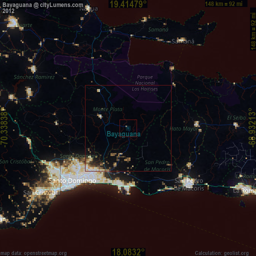
» Earth at Night: Flat Maps 2012, 2016