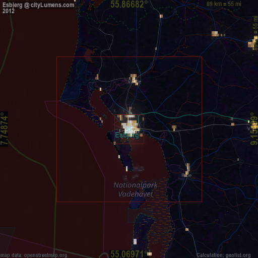
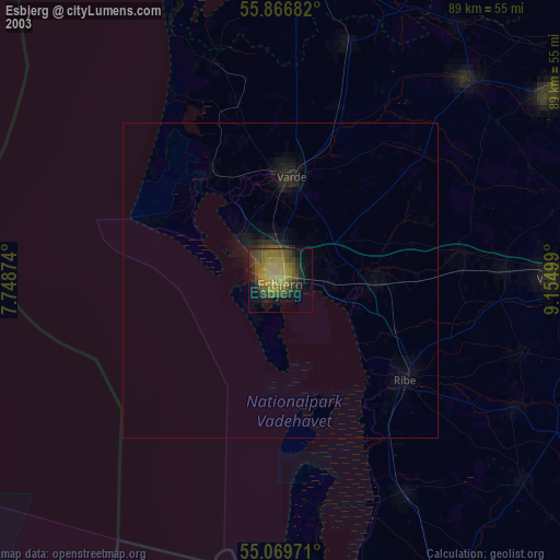
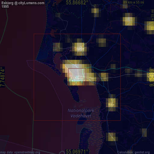
Esbjerg night lights from space
Night Light of Esbjerg (South Denmark) from space (Denmark) Src. Average luminocity for 10x10km area is 37.1128% and for 50x50km: 2.3577%.
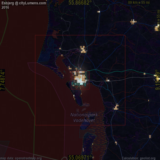
Analysis of Esbjerg night lights 2016
Square area 10x10 km:
 7.64%
7.64%90-99
8.52%80-89
5.26%70-79
3.51%60-69
3.38%50-59
3.26%40-49
3.51%30-39
2.01%20-29
11.28%10-19
29.95%0-9
21.68%Square area 50x50 km:
0.31%90-99
0.39%80-89
0.26%70-79
0.3%60-69
0.27%50-59
0.27%40-49
0.31%30-39
0.28%20-29
0.58%10-19
1.8%0-9
95.24%Clear (daylight) street map image can be seen on geolist.org.
Map coordinates:
55° 52' 0.6" North, 7° 44' 55.5" East
55° 28' 13" North, 8° 27' 6.7" East
55° 4' 11" North, 9° 9' 18" East
Some cities around Esbjerg sort by population:
• Varde
16.9 km =10.5 mi,  6°
6°
• Grindsted
43.7 km =27.2 mi,  43°
43°
• Vejen
43.3 km =26.9 mi,  88°
88°
• Vojens
59.4 km =36.9 mi,  114°
114°
• Ribe
25.4 km =15.8 mi,  127°
127°
• Skjern
53.4 km =33.2 mi,  3°
3°
• Bramming
15.6 km =9.7 mi, 90°
• Billund
50.5 km =31.4 mi,  54°
54°
2622447 (p: 72,205)
Sources (retrieved 2019-11-25):
» NASA, Earths city lights 1995
» NASA city lights 2003
» Earth at Night: Flat Maps 2012, 2016