Nørresundby night lights from space
Night Light of Nørresundby (North Denmark) from space (Denmark) Src. Average luminocity for 10x10km area is 58.0818% and for 50x50km: 4.9206%.
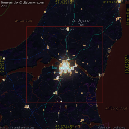
Analysis of Nørresundby night lights 2016
Square area 10x10 km:
 16.25%
90-99
16.14%80-89
8.3%70-79
5.8%60-69
7.27%50-59
1.36%40-49
1.93%30-39
3.07%20-29
19.77%10-19
16.14%0-9
3.98%Square area 50x50 km:
0.85%90-99
0.98%80-89
0.65%70-79
0.48%60-69
0.65%50-59
0.48%40-49
0.34%30-39
0.57%20-29
1.68%10-19
2.95%0-9
90.38%Clear (daylight) street map image can be seen on geolist.org.
Map coordinates:
57° 26' 20.9" North, 9° 13' 11" East
57° 3' 31.6" North, 9° 55' 22.2" East
56° 40' 28" North, 10° 37' 33.5" East
Some cities around Nørresundby sort by population:
• Aalborg
1.2 km =0.7 mi,  191°
191°
• Hjørring
45.2 km =28.1 mi,  4°
4°
• Brønderslev
23.5 km =14.6 mi, 2°
• Hobro
46.9 km =29.1 mi, 189°
• Løkken
36.9 km =22.9 mi,  340°
340°
• Aars
37.6 km =23.4 mi,  221°
221°
• Støvring
19.9 km =12.4 mi, 194°
• Hadsund
40 km =24.9 mi,  162°
162°
2616235 (p: 22,083)
Sources (retrieved 2019-11-25):
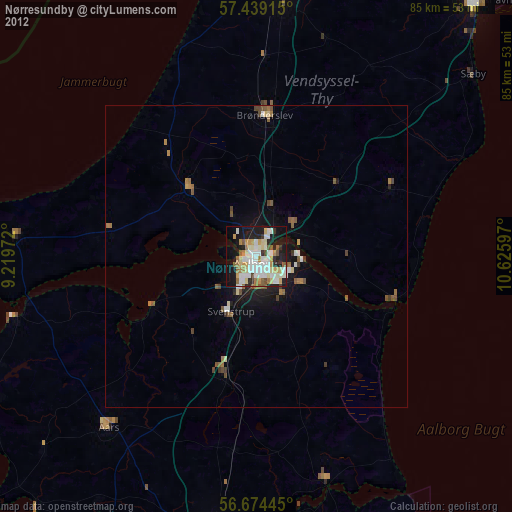
» Earth at Night: Flat Maps 2012, 2016