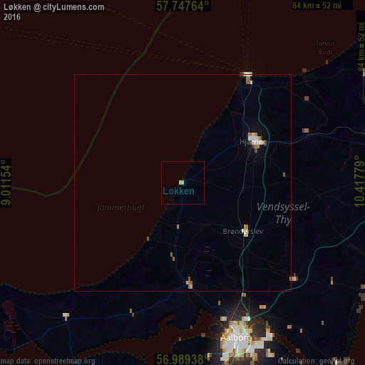
Løkken night lights from space
Night Light of Løkken (North Denmark) from space (Denmark) Src. Average luminocity for 10x10km area is 0.767% and for 50x50km: 0.8308%.
Analysis of Løkken night lights 2016
Square area 10x10 km:
 0%
0%90-99
0%80-89
0%70-79
0.91%60-69
0%50-59
0%40-49
0%30-39
0%20-29
0%10-19
0%0-9
99.09%Square area 50x50 km:
0.06%90-99
0.17%80-89
0.11%70-79
0.1%60-69
0.21%50-59
0.13%40-49
0.12%30-39
0%20-29
0.01%10-19
0.05%0-9
99.03%Clear (daylight) street map image can be seen on geolist.org.
Map coordinates:
57° 44' 51.5" North, 9° 0' 41.5" East
57° 22' 13.7" North, 9° 42' 52.8" East
56° 59' 21.8" North, 10° 25' 4" East
Some cities around Løkken sort by population:
• Aalborg
37.9 km =23.5 mi,  161°
161°
• Hjørring
19.1 km =11.9 mi,  56°
56°
• Frederikshavn
49.8 km =30.9 mi,  80°
80°
• Nørresundby
36.9 km =22.9 mi, 160°
• Brønderslev
17.6 km =10.9 mi,  129°
129°
• Sæby
48.6 km =30.2 mi,  95°
95°
• Hirtshals
28.3 km =17.6 mi,  31°
31°
• Støvring
54.5 km =33.9 mi,  172°
172°
2617443 (p: 8,828)
Sources (retrieved 2019-11-25):
» Earth at Night: Flat Maps 2012, 2016