Hadsund night lights from space
Night Light of Hadsund (North Denmark) from space (Denmark) Src. Average luminocity for 10x10km area is 3.8536% and for 50x50km: 1.0617%.
Analysis of Hadsund night lights 2016
Square area 10x10 km:
 0.36%
0.36%90-99
0.12%80-89
0%70-79
0.12%60-69
2.86%50-59
0.36%40-49
0%30-39
1.67%20-29
0.71%10-19
0%0-9
93.81%Square area 50x50 km:
0.08%90-99
0.17%80-89
0.1%70-79
0.07%60-69
0.19%50-59
0.2%40-49
0.09%30-39
0.34%20-29
0.09%10-19
0.33%0-9
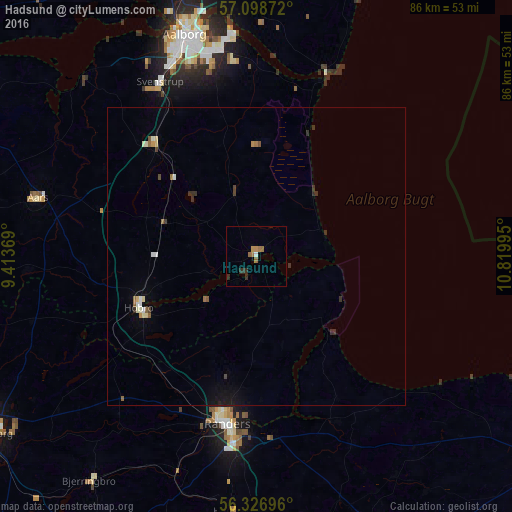
98.35%Clear (daylight) street map image can be seen on geolist.org.
Map coordinates:
57° 5' 55.4" North, 9° 24' 49.3" East
56° 42' 53.4" North, 10° 7' 0.6" East
56° 19' 37.1" North, 10° 49' 11.8" East
Some cities around Hadsund sort by population:
• Aalborg
39 km =24.2 mi,  342°
342°
• Randers
28.7 km =17.8 mi,  189°
189°
• Nørresundby
40 km =24.9 mi, 342°
• Hobro
21.5 km =13.4 mi,  248°
248°
• Aars
38 km =23.6 mi,  285°
285°
• Bjerringbro
46.7 km =29 mi,  216°
216°
• Hadsten
43.2 km =26.8 mi, 185°
• Støvring
25.4 km =15.8 mi,  318°
318°
2620952 (p: 5,066)
Sources (retrieved 2019-11-25):
» Earth at Night: Flat Maps 2012, 2016