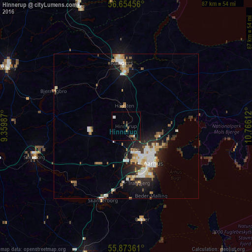
Hinnerup night lights from space
Night Light of Hinnerup (Central Jutland) from space (Denmark) Src. Average luminocity for 10x10km area is 6.0238% and for 50x50km: 7.2462%.
Analysis of Hinnerup night lights 2016
Square area 10x10 km:
 0.38%
0.38%90-99
1.13%80-89
0.25%70-79
0.25%60-69
1%50-59
1%40-49
2.01%30-39
0.5%20-29
0%10-19
2.88%0-9
90.6%Square area 50x50 km:
1.14%90-99
1.43%80-89
0.95%70-79
0.71%60-69
0.92%50-59
0.92%40-49
0.77%30-39
0.76%20-29
2.03%10-19
4.23%0-9
86.15%Clear (daylight) street map image can be seen on geolist.org.
Map coordinates:
56° 39' 16.4" North, 9° 21' 35.5" East
56° 15' 57.9" North, 10° 3' 46.8" East
55° 52' 25" North, 10° 45' 58" East
Some cities around Hinnerup sort by population:
• Århus
15.2 km =9.4 mi,  143°
143°
• Lystrup
11.3 km =7 mi,  106°
106°
• Tranbjerg
19.5 km =12.1 mi,  166°
166°
• Hadsten
7 km =4.3 mi,  353°
353°
• Hammel
12.4 km =7.7 mi,  265°
265°
• Hørning
20 km =12.4 mi,  184°
184°
• Kolt
17.5 km =10.9 mi, 178°
• Løgten
15.4 km =9.6 mi,  86°
86°
2620288 (p: 7,055)
Sources (retrieved 2019-11-25):
» Earth at Night: Flat Maps 2012, 2016