Wittenburg night lights from space
Night Light of Wittenburg (Mecklenburg-Vorpommern) from space (Germany) Src. Average luminocity for 10x10km area is 2.3108% and for 50x50km: 2.0227%.
Analysis of Wittenburg night lights 2016
Square area 10x10 km:
 0.26%
0.26%90-99
0.26%80-89
0.53%70-79
0%60-69
0.53%50-59
0.53%40-49
0.66%30-39
0.4%20-29
0%10-19
0%0-9
96.83%Square area 50x50 km:
0.27%90-99
0.41%80-89
0.19%70-79
0.18%60-69
0.25%50-59
0.25%40-49
0.24%30-39
0.25%20-29
0.38%10-19
1.95%0-9
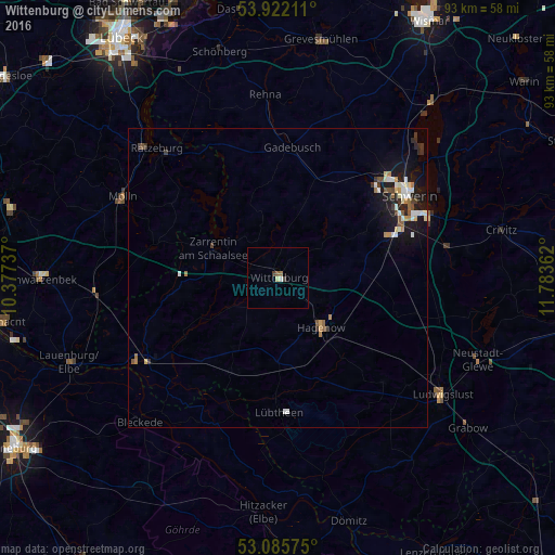
95.64%Clear (daylight) street map image can be seen on geolist.org.
Map coordinates:
53° 55' 19.6" North, 10° 22' 38.5" East
53° 30' 21.6" North, 11° 4' 49.8" East
53° 5' 8.7" North, 11° 47' 1" East
Some cities around Wittenburg sort by population:
• Schwerin
25.9 km =16.1 mi,  58°
58°
• Mölln
28.7 km =17.8 mi,  295°
295°
• Weststadt
25.3 km =15.7 mi, 55°
• Hagenow
11.1 km =6.9 mi,  138°
138°
• Boizenburg
27.4 km =17 mi,  239°
239°
• Lankow
24.9 km =15.5 mi,  49°
49°
• Paulsstadt
25.6 km =15.9 mi, 56°
• Gadebusch
21.9 km =13.6 mi,  6°
6°
2807335 (p: 5,041)
Sources (retrieved 2019-11-25):
» Earth at Night: Flat Maps 2012, 2016