Wismar night lights from space
Night Light of Wismar (Mecklenburg-Vorpommern) from space (Germany) Src. Average luminocity for 10x10km area is 22.3439% and for 50x50km: 1.4369%.
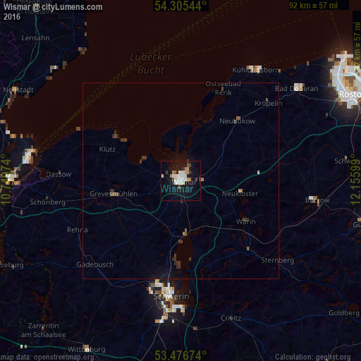
Analysis of Wismar night lights 2016
Square area 10x10 km:
 4.37%
4.37%90-99
6.22%80-89
1.06%70-79
2.25%60-69
1.98%50-59
1.06%40-49
1.46%30-39
1.98%20-29
0.66%10-19
26.46%0-9
52.51%Square area 50x50 km:
0.17%90-99
0.26%80-89
0.06%70-79
0.09%60-69
0.16%50-59
0.18%40-49
0.17%30-39
0.38%20-29
0.26%10-19
1.23%0-9
97.04%Clear (daylight) street map image can be seen on geolist.org.
Map coordinates:
54° 18' 19.6" North, 10° 44' 59.1" East
53° 53' 35.3" North, 11° 27' 10.3" East
53° 28' 36.3" North, 12° 9' 21.6" East
Some cities around Wismar sort by population:
• Schwerin
29.4 km =18.3 mi,  185°
185°
• Weststadt
29 km =18 mi, 187°
• Grevesmühlen
17.4 km =10.8 mi,  259°
259°
• Lankow
27.6 km =17.1 mi, 191°
• Paulsstadt
29.1 km =18.1 mi, 186°
• Ostseebad Kühlungsborn
34.9 km =21.7 mi,  35°
35°
• Gadebusch
30.7 km =19.1 mi,  225°
225°
• Satow-Oberhagen
30.5 km =19 mi,  68°
68°
2807465 (p: 45,255)
Sources (retrieved 2019-11-25):
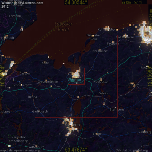
» Earth at Night: Flat Maps 2012, 2016