Villingen-Schwenningen night lights from space
Night Light of Villingen-Schwenningen (Baden-Württemberg) from space (Germany) Src. Average luminocity for 10x10km area is 35.4858% and for 50x50km: 5.0749%.
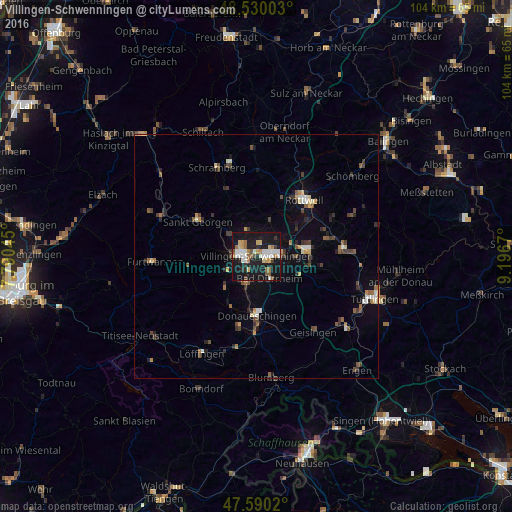
Analysis of Villingen-Schwenningen night lights 2016
Square area 10x10 km:
 5.82%
5.82%90-99
7.95%80-89
3.55%70-79
3.41%60-69
5.54%50-59
3.55%40-49
2.13%30-39
2.27%20-29
5.11%10-19
52.98%0-9
7.67%Square area 50x50 km:
0.42%90-99
0.77%80-89
0.38%70-79
0.54%60-69
0.57%50-59
0.78%40-49
0.85%30-39
0.94%20-29
1.02%10-19
3.77%0-9
89.98%Clear (daylight) street map image can be seen on geolist.org.
Map coordinates:
48° 31' 48.1" North, 7° 47' 25.6" East
48° 3' 44.1" North, 8° 29' 36.9" East
47° 35' 24.7" North, 9° 11' 48.1" East
Some cities around Villingen-Schwenningen sort by population:
• Donaueschingen
11.9 km =7.4 mi,  178°
178°
• Trossingen
11.3 km =7 mi,  81°
81°
• Sankt Georgen im Schwarzwald
13.8 km =8.6 mi,  301°
301°
• Bad Dürrheim
5.4 km =3.4 mi,  149°
149°
• Königsfeld im Schwarzwald
10.1 km =6.3 mi,  326°
326°
• Deißlingen
10.1 km =6.3 mi,  56°
56°
• Zimmern ob Rottweil
13.8 km =8.6 mi,  32°
32°
• Niedereschach
8.4 km =5.2 mi,  20°
20°
2817220 (p: 81,770)
Sources (retrieved 2019-11-25):
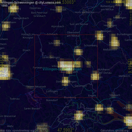
» NASA, Earths city lights 1995
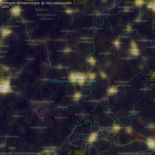
» NASA city lights 2003
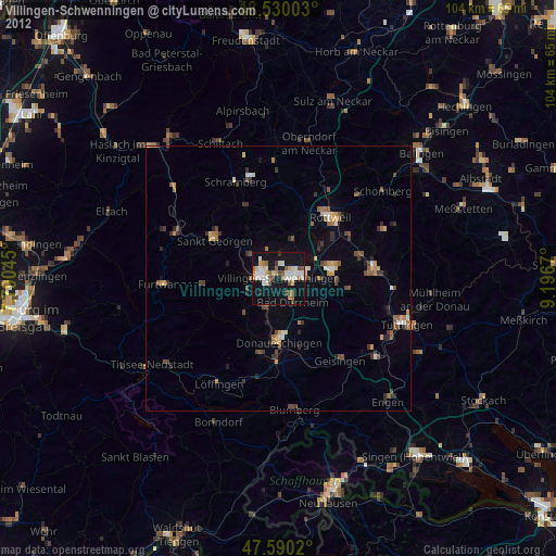
» Earth at Night: Flat Maps 2012, 2016