Viernheim night lights from space
Night Light of Viernheim (Hesse) from space (Germany) Src. Average luminocity for 10x10km area is 38.7213% and for 50x50km: 21.4297%.
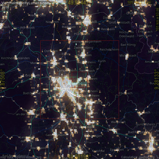
Analysis of Viernheim night lights 2016
Square area 10x10 km:
 6.3%
6.3%90-99
8.96%80-89
3.22%70-79
2.8%60-69
3.22%50-59
2.24%40-49
4.06%30-39
9.94%20-29
21.99%10-19
34.45%0-9
2.8%Square area 50x50 km:
4.12%90-99
4.68%80-89
1.7%70-79
1.74%60-69
2.05%50-59
2.34%40-49
2.43%30-39
3.2%20-29
7.95%10-19
16.14%0-9
53.65%Clear (daylight) street map image can be seen on geolist.org.
Map coordinates:
49° 59' 40.1" North, 7° 52' 30.3" East
49° 32' 25.2" North, 8° 34' 41.5" East
49° 4' 54.9" North, 9° 16' 52.8" East
Some cities around Viernheim sort by population:
• Weinheim
6.5 km =4 mi,  81°
81°
• Edingen-Neckarhausen
9.5 km =5.9 mi,  167°
167°
• Hemsbach
7.5 km =4.7 mi,  41°
41°
• Heddesheim
4.3 km =2.7 mi,  154°
154°
• Ladenburg
7.8 km =4.8 mi,  163°
163°
• Birkenau
9.6 km =6 mi, 75°
• Hirschberg an der Bergstraße
6.8 km =4.2 mi,  123°
123°
• Ilvesheim
7.4 km =4.6 mi,  186°
186°
2817324 (p: 32,620)
Sources (retrieved 2019-11-25):
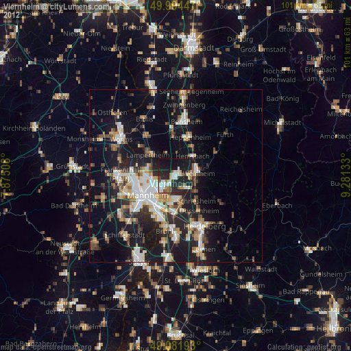
» Earth at Night: Flat Maps 2012, 2016