Bakum night lights from space
Night Light of Bakum (Lower Saxony) from space (Germany) Src. Average luminocity for 10x10km area is 1.9924% and for 50x50km: 1.2496%.
Analysis of Bakum night lights 2016
Square area 10x10 km:
 0%
0%90-99
0%80-89
0%70-79
0%60-69
0%50-59
1.01%40-49
0.51%30-39
0.51%20-29
0.51%10-19
0%0-9
97.47%Square area 50x50 km:
0.06%90-99
0.1%80-89
0.07%70-79
0.21%60-69
0.24%50-59
0.36%40-49
0.3%30-39
0.24%20-29
0.26%10-19
0.18%0-9
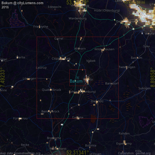
97.98%Clear (daylight) street map image can be seen on geolist.org.
Map coordinates:
53° 9' 53.2" North, 7° 29' 32.4" East
52° 44' 28.2" North, 8° 11' 43.7" East
52° 18' 48.3" North, 8° 53' 54.9" East
Some cities around Bakum sort by population:
• Cloppenburg
15.6 km =9.7 mi,  319°
319°
• Vechta
6.3 km =3.9 mi,  105°
105°
• Lohne
8.8 km =5.5 mi,  161°
161°
• Dinklage
10 km =6.2 mi,  208°
208°
• Emstek
10.7 km =6.6 mi,  343°
343°
• Visbek
13.1 km =8.1 mi,  38°
38°
• Goldenstedt
16.8 km =10.4 mi,  71°
71°
• Cappeln
9.5 km =5.9 mi, 324°
2953136 (p: 5,678)
Sources (retrieved 2019-11-25):
» Earth at Night: Flat Maps 2012, 2016