Peine night lights from space
Night Light of Peine (Lower Saxony) from space (Germany) Src. Average luminocity for 10x10km area is 14.8851% and for 50x50km: 9.1498%.
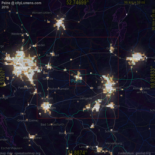
Analysis of Peine night lights 2016
Square area 10x10 km:
 0.88%
0.88%90-99
2.15%80-89
2.27%70-79
1.64%60-69
2.27%50-59
3.28%40-49
1.52%30-39
2.78%20-29
0.38%10-19
6.94%0-9
75.88%Square area 50x50 km:
1.4%90-99
1.64%80-89
0.85%70-79
1.15%60-69
0.87%50-59
1.04%40-49
0.99%30-39
0.75%20-29
1.74%10-19
9.05%0-9
80.51%Clear (daylight) street map image can be seen on geolist.org.
Map coordinates:
52° 44' 49.2" North, 9° 31' 55.5" East
52° 19' 9.4" North, 10° 14' 6.7" East
51° 53' 14.6" North, 10° 56' 18" East
Some cities around Peine sort by population:
• Vechelde
11 km =6.8 mi,  126°
126°
• Lengede
13.6 km =8.5 mi,  158°
158°
• Ilsede
6.7 km =4.2 mi,  201°
201°
• Wendeburg
10.8 km =6.7 mi,  83°
83°
• Hohenhameln
13.5 km =8.4 mi,  239°
239°
• Söhlde
14.5 km =9 mi,  180°
180°
• Uetze
16.3 km =10.1 mi,  352°
352°
• Klein Schwülper
13.4 km =8.3 mi, 79°
2855047 (p: 49,953)
Sources (retrieved 2019-11-25):
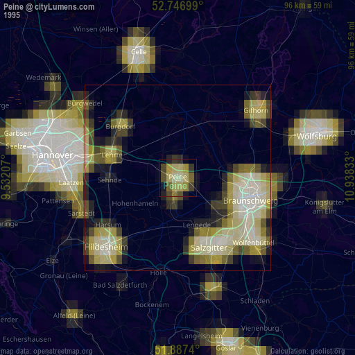
» NASA, Earths city lights 1995
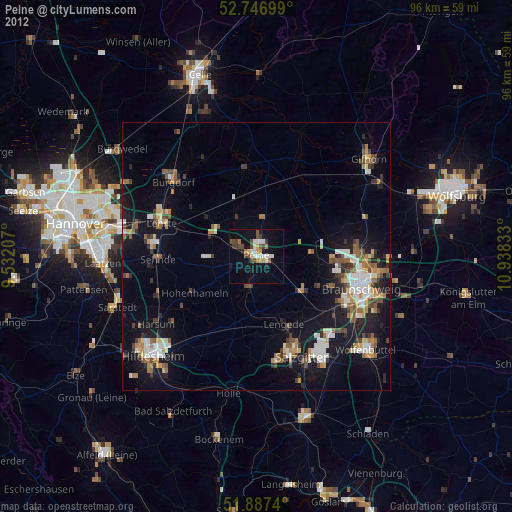
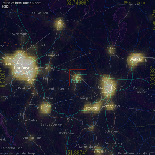
» NASA city lights 2003
» Earth at Night: Flat Maps 2012, 2016