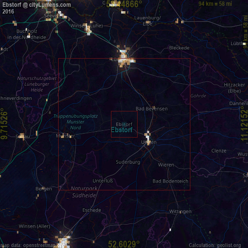
Ebstorf night lights from space
Night Light of Ebstorf (Lower Saxony) from space (Germany) Src. Average luminocity for 10x10km area is 0% and for 50x50km: 0.8834%.
Analysis of Ebstorf night lights 2016
Square area 10x10 km:
 0%
0%90-99
0%80-89
0%70-79
0%60-69
0%50-59
0%40-49
0%30-39
0%20-29
0%10-19
0%0-9
100%Square area 50x50 km:
0.14%90-99
0.1%80-89
0.11%70-79
0.13%60-69
0.22%50-59
0.06%40-49
0.07%30-39
0.1%20-29
0%10-19
0.66%0-9
98.41%Clear (daylight) street map image can be seen on geolist.org.
Map coordinates:
53° 26' 55.2" North, 9° 42' 54.9" East
53° 1' 40.3" North, 10° 25' 6.2" East
52° 36' 10.4" North, 11° 7' 17.5" East
Some cities around Ebstorf sort by population:
• Lüneburg
24.8 km =15.4 mi,  359°
359°
• Uelzen
11.8 km =7.3 mi,  125°
125°
• Munster
22.6 km =14 mi,  258°
258°
• Adendorf
28.3 km =17.6 mi,  2°
2°
• Bad Bevensen
12.3 km =7.6 mi,  62°
62°
• Faßberg
22.1 km =13.7 mi,  229°
229°
• Bienenbüttel
13.4 km =8.3 mi,  19°
19°
• Reppenstedt
25.1 km =15.6 mi,  349°
349°
2933817 (p: 5,471)
Sources (retrieved 2019-11-25):
» Earth at Night: Flat Maps 2012, 2016