Traunreut night lights from space
Night Light of Traunreut (Bavaria) from space (Germany) Src. Average luminocity for 10x10km area is 7.9134% and for 50x50km: 2.1915%.
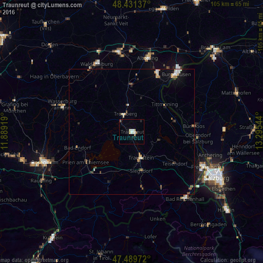
Analysis of Traunreut night lights 2016
Square area 10x10 km:
 1.14%
1.14%90-99
1.7%80-89
2.27%70-79
0%60-69
0.43%50-59
0.71%40-49
0%30-39
0%20-29
0.85%10-19
0.43%0-9
92.47%Square area 50x50 km:
0.25%90-99
0.33%80-89
0.25%70-79
0.28%60-69
0.22%50-59
0.37%40-49
0.25%30-39
0.26%20-29
0.33%10-19
0.71%0-9
96.76%Clear (daylight) street map image can be seen on geolist.org.
Map coordinates:
48° 25' 52.9" North, 11° 53' 21.1" East
47° 57' 45.7" North, 12° 35' 32.3" East
47° 29' 23" North, 13° 17' 43.6" East
Some cities around Traunreut sort by population:
• Trostberg an der Alz
7.7 km =4.8 mi,  340°
340°
• Prien am Chiemsee
21.8 km =13.5 mi,  237°
237°
• Teisendorf
21.1 km =13.1 mi,  126°
126°
• Garching an der Alz
19.1 km =11.9 mi,  357°
357°
• Siegsdorf
16 km =9.9 mi,  166°
166°
• Waging am See
11 km =6.8 mi,  106°
106°
• Tittmoning
17.1 km =10.6 mi,  49°
49°
• Tacherting
13 km =8.1 mi,  352°
352°
2821517 (p: 21,244)
Sources (retrieved 2019-11-25):
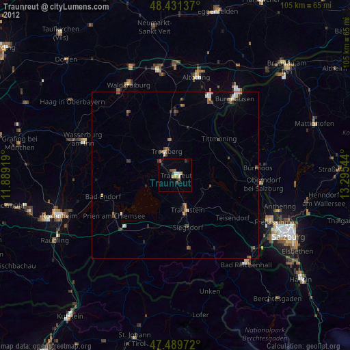
» Earth at Night: Flat Maps 2012, 2016