Trappenkamp night lights from space
Night Light of Trappenkamp (Schleswig-Holstein) from space (Germany) Src. Average luminocity for 10x10km area is 0.8056% and for 50x50km: 2.8314%.
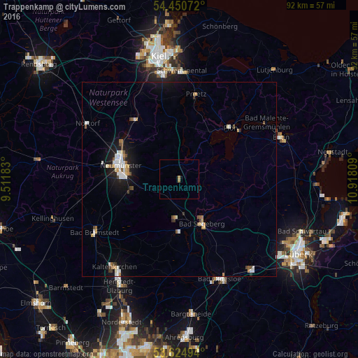
Analysis of Trappenkamp night lights 2016
Square area 10x10 km:
 0%
0%90-99
0%80-89
0%70-79
0.51%60-69
0.51%50-59
0%40-49
0%30-39
0%20-29
0%10-19
0.38%0-9
98.61%Square area 50x50 km:
0.47%90-99
0.58%80-89
0.18%70-79
0.28%60-69
0.3%50-59
0.31%40-49
0.33%30-39
0.18%20-29
0.26%10-19
2.39%0-9
94.74%Clear (daylight) street map image can be seen on geolist.org.
Map coordinates:
54° 27' 2.6" North, 9° 30' 42.6" East
54° 2' 23.6" North, 10° 12' 53.9" East
53° 37' 29.8" North, 10° 55' 5.1" East
Some cities around Trappenkamp sort by population:
• Neumünster
15.7 km =9.8 mi,  284°
284°
• Bad Segeberg
12.2 km =7.6 mi,  152°
152°
• Preetz
22.1 km =13.7 mi,  10°
10°
• Plön
19.2 km =11.9 mi,  44°
44°
• Wahlstedt
9.8 km =6.1 mi,  183°
183°
• Ahrensbök
23.7 km =14.7 mi,  98°
98°
• Bordesholm
19.3 km =12 mi,  321°
321°
• Flintbek
25.3 km =15.7 mi,  337°
337°
2821558 (p: 5,113)
Sources (retrieved 2019-11-25):
» Earth at Night: Flat Maps 2012, 2016