Sylt-Ost night lights from space
Night Light of Sylt-Ost (Schleswig-Holstein) from space (Germany) Src. Average luminocity for 10x10km area is 0.8732% and for 50x50km: 0.3403%.
Analysis of Sylt-Ost night lights 2016
Square area 10x10 km:
 0%
0%90-99
0%80-89
0%70-79
0%60-69
0.24%50-59
0%40-49
0.36%30-39
0.6%20-29
0.48%10-19
0%0-9
98.33%Square area 50x50 km:
0.03%90-99
0.07%80-89
0%70-79
0.02%60-69
0.04%50-59
0.02%40-49
0.14%30-39
0.16%20-29
0.09%10-19
0%0-9
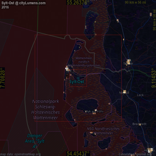
99.43%Clear (daylight) street map image can be seen on geolist.org.
Map coordinates:
55° 15' 49.5" North, 7° 42' 29.8" East
54° 51' 40" North, 8° 24' 41.1" East
54° 27' 15.7" North, 9° 6' 52.3" East
Some cities around Sylt-Ost sort by population:
• Husum
58.6 km =36.4 mi,  135°
135°
• Westerland
8.7 km =5.4 mi,  306°
306°
• Niebüll
28 km =17.4 mi,  107°
107°
• Ribe, DK
57 km =35.4 mi,  23°
23°
• Tønder, DK
30.2 km =18.8 mi,  74°
74°
• Leck
38.1 km =23.7 mi, 105°
• Handewitt
60 km =37.3 mi,  100°
100°
• Bredstedt
44.6 km =27.7 mi,  127°
127°
3208571 (p: 5,806)
Sources (retrieved 2019-11-25):
» Earth at Night: Flat Maps 2012, 2016