Tønder night lights from space
Night Light of Tønder (South Denmark) from space (Denmark) Src. Average luminocity for 10x10km area is 4.4964% and for 50x50km: 0.3484%.
Analysis of Tønder night lights 2016
Square area 10x10 km:
 0.24%
0.24%90-99
0.48%80-89
0.72%70-79
0.6%60-69
1.2%50-59
1.32%40-49
1.08%30-39
0.12%20-29
0%10-19
0%0-9
94.26%Square area 50x50 km:
0.01%90-99
0.03%80-89
0.06%70-79
0.06%60-69
0.05%50-59
0.11%40-49
0.08%30-39
0.06%20-29
0.06%10-19
0%0-9
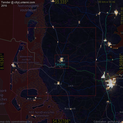
99.47%Clear (daylight) street map image can be seen on geolist.org.
Map coordinates:
55° 20' 6" North, 8° 9' 49" East
54° 55' 59" North, 8° 52' 0.3" East
54° 31' 37.4" North, 9° 34' 11.5" East
Some cities around Tønder sort by population:
• Harrislee, DE
36.2 km =22.5 mi,  114°
114°
• Westerland, DE
36.1 km =22.4 mi,  265°
265°
• Niebüll, DE
16.5 km =10.3 mi,  188°
188°
• Leck, DE
19.9 km =12.4 mi,  158°
158°
• Handewitt, DE
35.1 km =21.8 mi,  121°
121°
• Sylt-Ost, DE
30.2 km =18.8 mi,  254°
254°
• Rødekro
33.6 km =20.9 mi,  62°
62°
• Bredstedt, DE
35.5 km =22.1 mi,  169°
169°
2611497 (p: 7,841)
Sources (retrieved 2019-11-25):
» Earth at Night: Flat Maps 2012, 2016