Husum night lights from space
Night Light of Husum (Schleswig-Holstein) from space (Germany) Src. Average luminocity for 10x10km area is 6.4641% and for 50x50km: 0.4949%.
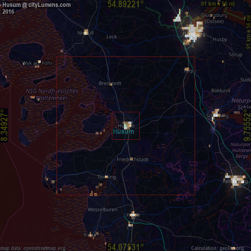
Analysis of Husum night lights 2016
Square area 10x10 km:
 0.72%
0.72%90-99
1.67%80-89
0.48%70-79
0.48%60-69
0%50-59
2.03%40-49
1.67%30-39
0.12%20-29
0.36%10-19
0.6%0-9
91.87%Square area 50x50 km:
0.03%90-99
0.07%80-89
0.02%70-79
0.04%60-69
0.04%50-59
0.12%40-49
0.24%30-39
0.16%20-29
0.03%10-19
0.02%0-9
99.22%Clear (daylight) street map image can be seen on geolist.org.
Map coordinates:
54° 53' 32" North, 8° 20' 57.4" East
54° 29' 8.9" North, 9° 3' 8.6" East
54° 4' 31.1" North, 9° 45' 19.9" East
Some cities around Husum sort by population:
• Schleswig
32.9 km =20.4 mi,  83°
83°
• Heide
32.4 km =20.1 mi,  174°
174°
• Leck
31.5 km =19.6 mi,  351°
351°
• Kropp
31 km =19.3 mi,  104°
104°
• Handewitt
36.1 km =22.4 mi,  30°
30°
• Tarp
30.1 km =18.7 mi,  48°
48°
• Bredstedt
15.8 km =9.8 mi,  338°
338°
• Tönning
19.9 km =12.4 mi,  200°
200°
2897132 (p: 20,841)
Sources (retrieved 2019-11-25):
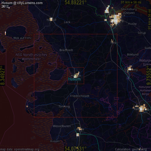
» Earth at Night: Flat Maps 2012, 2016