Handewitt night lights from space
Night Light of Handewitt (Schleswig-Holstein) from space (Germany) Src. Average luminocity for 10x10km area is 10.6328% and for 50x50km: 2.3537%.
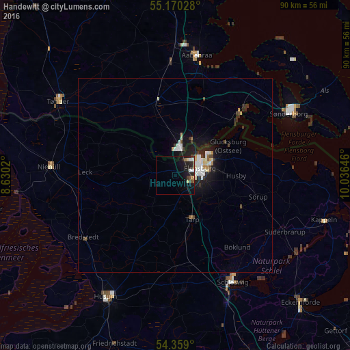
Analysis of Handewitt night lights 2016
Square area 10x10 km:
 1.38%
1.38%90-99
1.63%80-89
1%70-79
0.5%60-69
1.5%50-59
1%40-49
1.5%30-39
1.5%20-29
3.76%10-19
12.41%0-9
73.81%Square area 50x50 km:
0.42%90-99
0.5%80-89
0.26%70-79
0.08%60-69
0.17%50-59
0.16%40-49
0.28%30-39
0.35%20-29
0.71%10-19
2.09%0-9
94.98%Clear (daylight) street map image can be seen on geolist.org.
Map coordinates:
55° 10' 13" North, 8° 37' 48.7" East
54° 46' 0" North, 9° 19' 60" East
54° 21' 32.4" North, 10° 2' 11.3" East
Some cities around Handewitt sort by population:
• Flensburg
7.1 km =4.4 mi,  73°
73°
• Schleswig
30.9 km =19.2 mi,  151°
151°
• Aabenraa, DK
31.3 km =19.4 mi,  9°
9°
• Harrislee
4.9 km =3 mi,  40°
40°
• Leck
22.5 km =14 mi,  270°
270°
• Glücksburg
15.8 km =9.8 mi,  61°
61°
• Tarp
11.9 km =7.4 mi,  158°
158°
• Bredstedt
28.9 km =18 mi,  235°
235°
2910986 (p: 6,152)
Sources (retrieved 2019-11-25):
» Earth at Night: Flat Maps 2012, 2016