Immenstadt im Allgäu night lights from space
Night Light of Immenstadt im Allgäu (Bavaria) from space (Germany) Src. Average luminocity for 10x10km area is 4.6136% and for 50x50km: 1.4326%.
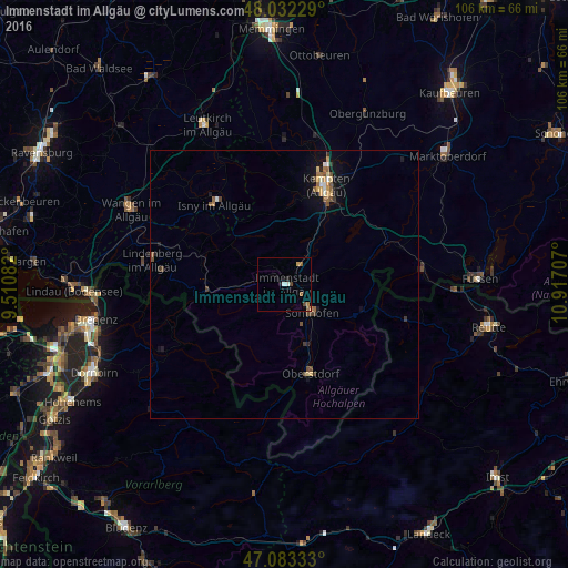
Analysis of Immenstadt im Allgäu night lights 2016
Square area 10x10 km:
 0.28%
0.28%90-99
0.85%80-89
0%70-79
0.85%60-69
1.7%50-59
0.57%40-49
0.71%30-39
0.43%20-29
0.57%10-19
1.14%0-9
92.9%Square area 50x50 km:
0.1%90-99
0.15%80-89
0.12%70-79
0.25%60-69
0.18%50-59
0.33%40-49
0.32%30-39
0.19%20-29
0.14%10-19
0.95%0-9
97.26%Clear (daylight) street map image can be seen on geolist.org.
Map coordinates:
48° 1' 56.2" North, 9° 30' 39" East
47° 33' 35.9" North, 10° 12' 50.2" East
47° 4' 60" North, 10° 55' 1.5" East
Some cities around Immenstadt im Allgäu sort by population:
• Sonthofen
6.9 km =4.3 mi,  132°
132°
• Isny
19.8 km =12.3 mi,  318°
318°
• Oberstdorf
17.7 km =11 mi,  163°
163°
• Waltenhofen
14.4 km =8.9 mi,  28°
28°
• Oberstaufen
14.4 km =8.9 mi,  268°
268°
• Durach
17.9 km =11.1 mi, 33°
• Blaichach
3.9 km =2.4 mi,  120°
120°
• Weitnau
11.2 km =7 mi, 324°
2896261 (p: 14,431)
Sources (retrieved 2019-11-25):
» Earth at Night: Flat Maps 2012, 2016