Sehnde night lights from space
Night Light of Sehnde (Lower Saxony) from space (Germany) Src. Average luminocity for 10x10km area is 5.798% and for 50x50km: 13.3082%.
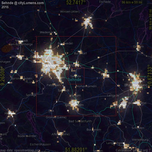
Analysis of Sehnde night lights 2016
Square area 10x10 km:
 0%
0%90-99
0.25%80-89
0.76%70-79
0.76%60-69
1.26%50-59
1.01%40-49
0.25%30-39
0.51%20-29
0.38%10-19
4.67%0-9
90.15%Square area 50x50 km:
2.91%90-99
3.2%80-89
1.26%70-79
1.35%60-69
1.28%50-59
1.42%40-49
1.05%30-39
1.36%20-29
3.15%10-19
6.92%0-9
76.1%Clear (daylight) street map image can be seen on geolist.org.
Map coordinates:
52° 44' 30.1" North, 9° 15' 54.3" East
52° 18' 50.2" North, 9° 58' 5.5" East
51° 52' 55.2" North, 10° 40' 16.8" East
Some cities around Sehnde sort by population:
• Lehrte
6.5 km =4 mi,  6°
6°
• Laatzen
11.6 km =7.2 mi,  270°
270°
• Burgdorf
14.9 km =9.3 mi, 9°
• Sarstedt
11.7 km =7.3 mi,  221°
221°
• Harsum
11.5 km =7.1 mi,  181°
181°
• Giesen
13.8 km =8.6 mi,  199°
199°
• Hohenhameln
9.1 km =5.7 mi,  133°
133°
• Algermissen
6.7 km =4.2 mi, 179°
2833475 (p: 23,060)
Sources (retrieved 2019-11-25):
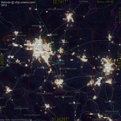
» Earth at Night: Flat Maps 2012, 2016