Harsum night lights from space
Night Light of Harsum (Lower Saxony) from space (Germany) Src. Average luminocity for 10x10km area is 15.0304% and for 50x50km: 11.7004%.
Analysis of Harsum night lights 2016
Square area 10x10 km:
 1.46%
1.46%90-99
2.65%80-89
1.46%70-79
3.17%60-69
0.79%50-59
1.85%40-49
0.93%30-39
0.66%20-29
1.72%10-19
20.63%0-9
64.68%Square area 50x50 km:
2.6%90-99
2.96%80-89
1.17%70-79
1.18%60-69
1.22%50-59
1.26%40-49
0.97%30-39
1.05%20-29
2.13%10-19
5.3%0-9
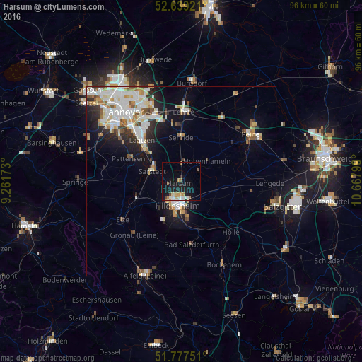
80.17%Clear (daylight) street map image can be seen on geolist.org.
Map coordinates:
52° 38' 21.2" North, 9° 15' 42.2" East
52° 12' 37.6" North, 9° 57' 53.5" East
51° 46' 39" North, 10° 40' 4.8" East
Some cities around Harsum sort by population:
• Hildesheim
6.7 km =4.2 mi,  188°
188°
• Sehnde
11.5 km =7.1 mi,  1°
1°
• Sarstedt
8 km =5 mi,  289°
289°
• Giesen
4.7 km =2.9 mi,  251°
251°
• Hohenhameln
8.6 km =5.3 mi,  52°
52°
• Schellerten
9.8 km =6.1 mi,  106°
106°
• Algermissen
4.8 km =3 mi, 3°
• Diekholzen
13.1 km =8.1 mi, 193°
2910269 (p: 12,331)
Sources (retrieved 2019-11-25):
» Earth at Night: Flat Maps 2012, 2016