Giesen night lights from space
Night Light of Giesen (Lower Saxony) from space (Germany) Src. Average luminocity for 10x10km area is 20.2116% and for 50x50km: 10.9002%.
Analysis of Giesen night lights 2016
Square area 10x10 km:
 3.31%
3.31%90-99
4.63%80-89
2.91%70-79
4.37%60-69
1.06%50-59
1.06%40-49
0.93%30-39
0.66%20-29
1.85%10-19
15.61%0-9
63.62%Square area 50x50 km:
2.33%90-99
2.71%80-89
1.12%70-79
1.06%60-69
1.06%50-59
1.23%40-49
0.97%30-39
1%20-29
2.1%10-19
5.53%0-9
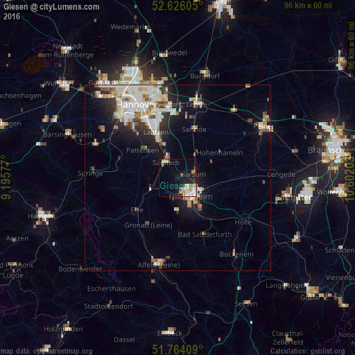
80.9%Clear (daylight) street map image can be seen on geolist.org.
Map coordinates:
52° 37' 33.8" North, 9° 11' 44.8" East
52° 11' 49.8" North, 9° 53' 56" East
51° 45' 50.7" North, 10° 36' 7.3" East
Some cities around Giesen sort by population:
• Hildesheim
6.3 km =3.9 mi,  145°
145°
• Sarstedt
5.2 km =3.2 mi,  324°
324°
• Pattensen
11.8 km =7.3 mi,  309°
309°
• Nordstemmen
8.8 km =5.5 mi,  243°
243°
• Harsum
4.7 km =2.9 mi,  71°
71°
• Hohenhameln
13.1 km =8.1 mi,  59°
59°
• Algermissen
7.9 km =4.9 mi,  37°
37°
• Diekholzen
11.3 km =7 mi,  172°
172°
3206402 (p: 9,909)
Sources (retrieved 2019-11-25):
» Earth at Night: Flat Maps 2012, 2016