Schwetzingen night lights from space
Night Light of Schwetzingen (Baden-Württemberg) from space (Germany) Src. Average luminocity for 10x10km area is 43.2193% and for 50x50km: 23.3135%.
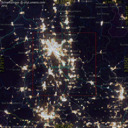
Analysis of Schwetzingen night lights 2016
Square area 10x10 km:
 5.61%
5.61%90-99
8.42%80-89
5.48%70-79
3.34%60-69
4.28%50-59
6.02%40-49
3.34%30-39
8.42%20-29
38.37%10-19
16.71%0-9
0%Square area 50x50 km:
4.41%90-99
4.89%80-89
1.82%70-79
1.7%60-69
2.37%50-59
2.33%40-49
2.77%30-39
3.61%20-29
9.01%10-19
19.76%0-9
47.33%Clear (daylight) street map image can be seen on geolist.org.
Map coordinates:
49° 50' 16" North, 7° 52' 45" East
49° 22' 55.8" North, 8° 34' 56.3" East
48° 55' 20.2" North, 9° 17' 7.5" East
Some cities around Schwetzingen sort by population:
• Heidelberg
8.3 km =5.2 mi,  70°
70°
• Hockenheim
6.9 km =4.3 mi,  198°
198°
• Sandhausen
7.1 km =4.4 mi,  128°
128°
• Brühl
3.9 km =2.4 mi,  295°
295°
• Eppelheim
4.5 km =2.8 mi,  60°
60°
• Ketsch
4 km =2.5 mi,  246°
246°
• Oftersheim
1.9 km =1.2 mi,  178°
178°
• Plankstadt
1.7 km =1.1 mi,  36°
36°
2834240 (p: 22,593)
Sources (retrieved 2019-11-25):
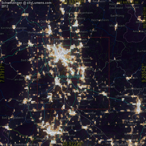
» Earth at Night: Flat Maps 2012, 2016