Schwäbisch Hall night lights from space
Night Light of Schwäbisch Hall (Baden-Württemberg) from space (Germany) Src. Average luminocity for 10x10km area is 8.0588% and for 50x50km: 2.4516%.
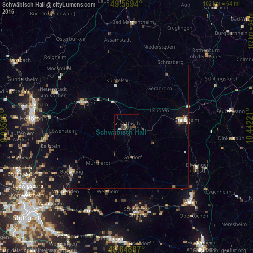
Analysis of Schwäbisch Hall night lights 2016
Square area 10x10 km:
 0.84%
0.84%90-99
0.84%80-89
0.42%70-79
0.7%60-69
0.14%50-59
2.1%40-49
2.52%30-39
3.5%20-29
1.12%10-19
1.82%0-9
85.99%Square area 50x50 km:
0.25%90-99
0.39%80-89
0.24%70-79
0.25%60-69
0.26%50-59
0.29%40-49
0.45%30-39
0.48%20-29
0.44%10-19
1.04%0-9
95.91%Clear (daylight) street map image can be seen on geolist.org.
Map coordinates:
49° 34' 9.8" North, 9° 2' 9.5" East
49° 6' 40.6" North, 9° 44' 20.7" East
48° 38' 55.9" North, 10° 26' 32" East
Some cities around Schwäbisch Hall sort by population:
• Künzelsau
19.4 km =12.1 mi,  347°
347°
• Murrhardt
18.9 km =11.7 mi,  220°
220°
• Gaildorf
12.5 km =7.8 mi,  169°
169°
• Pfedelbach
18.6 km =11.6 mi,  293°
293°
• Neuenstein
15.6 km =9.7 mi,  311°
311°
• Ilshofen
14.6 km =9.1 mi,  63°
63°
• Kupferzell
13.4 km =8.3 mi,  344°
344°
• Mainhardt
13.9 km =8.6 mi,  253°
253°
2835481 (p: 36,543)
Sources (retrieved 2019-11-25):
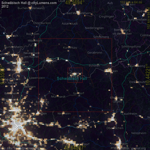
» Earth at Night: Flat Maps 2012, 2016