Schwäbisch Gmünd night lights from space
Night Light of Schwäbisch Gmünd (Baden-Württemberg) from space (Germany) Src. Average luminocity for 10x10km area is 23.2401% and for 50x50km: 7.5815%.
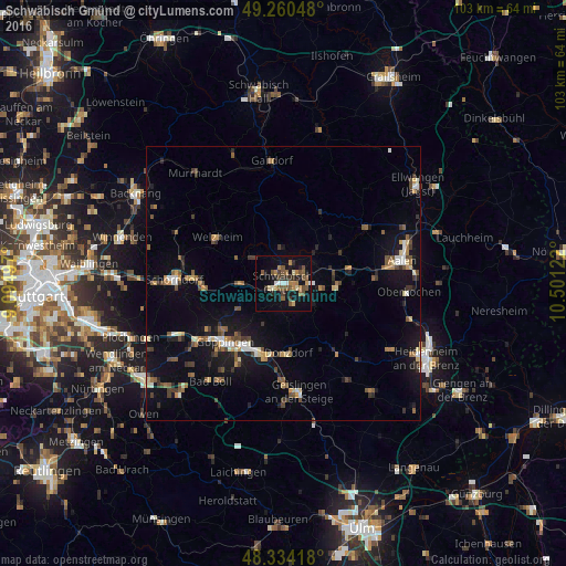
Analysis of Schwäbisch Gmünd night lights 2016
Square area 10x10 km:
 1.42%
1.42%90-99
1.85%80-89
1.85%70-79
2.84%60-69
4.83%50-59
6.53%40-49
4.4%30-39
3.13%20-29
4.26%10-19
21.16%0-9
47.73%Square area 50x50 km:
0.57%90-99
0.75%80-89
0.7%70-79
0.78%60-69
1.06%50-59
1.33%40-49
1.43%30-39
1.16%20-29
1.17%10-19
6.47%0-9
84.59%Clear (daylight) street map image can be seen on geolist.org.
Map coordinates:
49° 15' 37.7" North, 9° 5' 41.9" East
48° 47' 58.1" North, 9° 47' 53.1" East
48° 20' 3" North, 10° 30' 4.4" East
Some cities around Schwäbisch Gmünd sort by population:
• Eislingen
13.4 km =8.3 mi,  209°
209°
• Lorch
7.8 km =4.8 mi,  269°
269°
• Donzdorf
12.7 km =7.9 mi,  175°
175°
• Heubach
10 km =6.2 mi,  94°
94°
• Salach
12.8 km =8 mi,  200°
200°
• Waldstetten
4.1 km =2.5 mi,  155°
155°
• Alfdorf
7.6 km =4.7 mi,  310°
310°
• Mutlangen
2.9 km =1.8 mi,  358°
358°
2835482 (p: 61,338)
Sources (retrieved 2019-11-25):
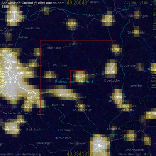
» NASA, Earths city lights 1995
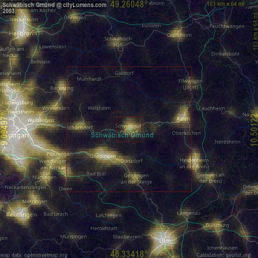
» NASA city lights 2003
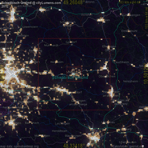
» Earth at Night: Flat Maps 2012, 2016