Rottweil night lights from space
Night Light of Rottweil (Baden-Württemberg) from space (Germany) Src. Average luminocity for 10x10km area is 13.9449% and for 50x50km: 5.4506%.
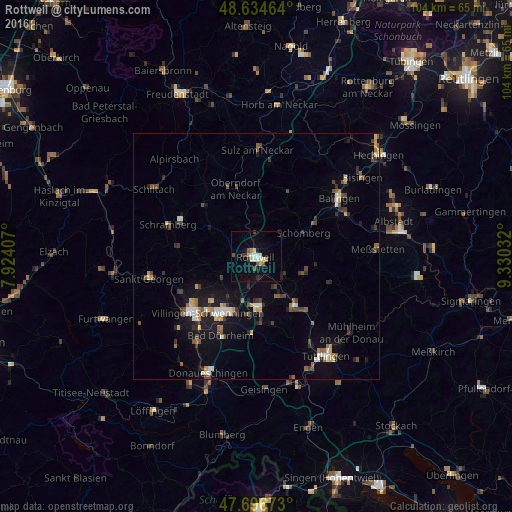
Analysis of Rottweil night lights 2016
Square area 10x10 km:
 1.04%
1.04%90-99
2.38%80-89
2.83%70-79
1.34%60-69
0.74%50-59
1.79%40-49
1.19%30-39
2.08%20-29
0.74%10-19
7.89%0-9
77.98%Square area 50x50 km:
0.45%90-99
0.79%80-89
0.48%70-79
0.58%60-69
0.59%50-59
0.77%40-49
0.88%30-39
1.06%20-29
1.04%10-19
3.89%0-9
89.47%Clear (daylight) street map image can be seen on geolist.org.
Map coordinates:
48° 38' 4.7" North, 7° 55' 26.7" East
48° 10' 4.2" North, 8° 37' 37.9" East
47° 41' 48.2" North, 9° 19' 49.2" East
Some cities around Rottweil sort by population:
• Trossingen
10.2 km =6.3 mi,  172°
172°
• Oberndorf
14.2 km =8.8 mi,  343°
343°
• Spaichingen
13.1 km =8.1 mi,  142°
142°
• Aldingen
9.3 km =5.8 mi, 144°
• Deißlingen
6.3 km =3.9 mi,  193°
193°
• Zimmern ob Rottweil
2.4 km =1.5 mi,  266°
266°
• Dunningen
10.2 km =6.3 mi,  298°
298°
• Niedereschach
7.9 km =4.9 mi,  241°
241°
2843636 (p: 25,510)
Sources (retrieved 2019-11-25):
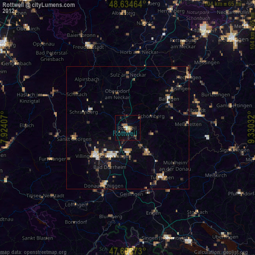
» Earth at Night: Flat Maps 2012, 2016