Borgfelde night lights from space
Night Light of Borgfelde (Hamburg) from space (Germany) Src. Average luminocity for 10x10km area is 97.2348% and for 50x50km: 25.0888%.
Analysis of Borgfelde night lights 2016
Square area 10x10 km:
 59.47%
90-99
32.83%80-89
2.65%70-79
3.03%60-69
0.76%50-59
0.63%40-49
0.63%30-39
0%20-29
0%10-19
0%0-9
0%Square area 50x50 km:
7.24%90-99
5.5%80-89
1.72%70-79
2.23%60-69
2.78%50-59
2.45%40-49
2.96%30-39
2.48%20-29
4.7%10-19
11.75%0-9
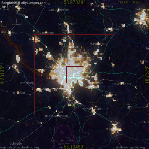
56.19%Clear (daylight) street map image can be seen on geolist.org.
Map coordinates:
53° 58' 13.4" North, 9° 19' 52.9" East
53° 33' 17.1" North, 10° 2' 4.1" East
53° 8' 6" North, 10° 44' 15.4" East
Some cities around Borgfelde sort by population:
• Hamburg
2.6 km =1.6 mi,  331°
331°
• Wandsbek
4.5 km =2.8 mi,  45°
45°
• Marienthal
3.5 km =2.2 mi,  67°
67°
• Hamburg-Mitte
1.3 km =0.8 mi,  245°
245°
• St. Pauli
4.7 km =2.9 mi,  273°
273°
• St. Georg
1.5 km =0.9 mi, 271°
• Neustadt
3.2 km =2 mi,  264°
264°
• Rothenburgsort
2.2 km =1.4 mi,  169°
169°
2946281 (p: 7,099)
Sources (retrieved 2019-11-25):
» Earth at Night: Flat Maps 2012, 2016