Neustadt night lights from space
Night Light of Neustadt (Hamburg) from space (Germany) Src. Average luminocity for 10x10km area is 98.5529% and for 50x50km: 24.7593%.
Analysis of Neustadt night lights 2016
Square area 10x10 km:
 72.09%
90-99
25%80-89
0.79%70-79
0.13%60-69
0.93%50-59
0.79%40-49
0.26%30-39
0%20-29
0%10-19
0%0-9
0%Square area 50x50 km:
7.18%90-99
5.46%80-89
1.68%70-79
2.2%60-69
2.72%50-59
2.41%40-49
2.81%30-39
2.41%20-29
4.67%10-19
11.66%0-9
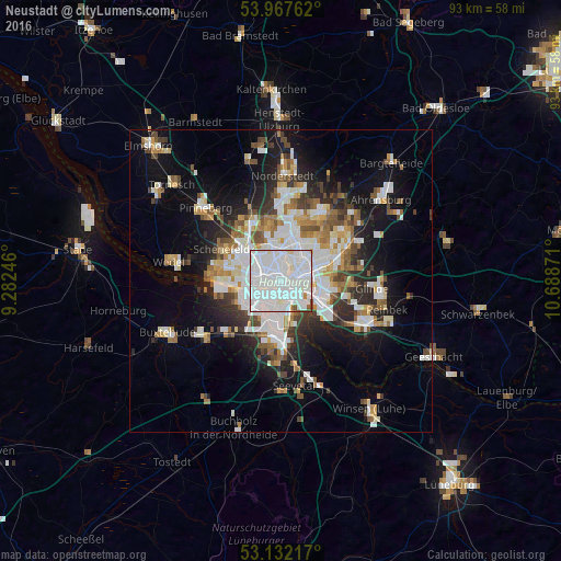
56.77%Clear (daylight) street map image can be seen on geolist.org.
Map coordinates:
53° 58' 3.4" North, 9° 16' 56.9" East
53° 33' 7.1" North, 9° 59' 8.1" East
53° 7' 55.8" North, 10° 41' 19.4" East
Some cities around Neustadt sort by population:
• Hamburg
3.3 km =2.1 mi,  37°
37°
• Eimsbüttel
3.1 km =1.9 mi,  322°
322°
• Altona
3.5 km =2.2 mi,  266°
266°
• Hamburg-Mitte
2.1 km =1.3 mi,  96°
96°
• St. Pauli
1.5 km =0.9 mi,  291°
291°
• St. Georg
1.8 km =1.1 mi,  78°
78°
• Rothenburgsort
4.1 km =2.5 mi,  117°
117°
• Borgfelde
3.2 km =2 mi, 84°
2864067 (p: 11,856)
Sources (retrieved 2019-11-25):
» Earth at Night: Flat Maps 2012, 2016