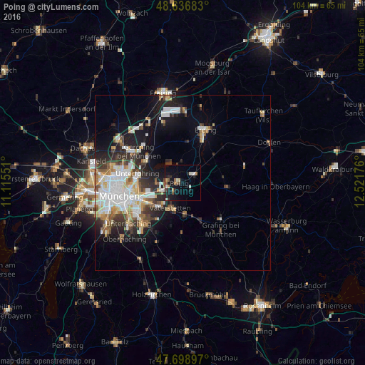
Poing night lights from space
Night Light of Poing (Bavaria) from space (Germany) Src. Average luminocity for 10x10km area is 14.3795% and for 50x50km: 15.9155%.
Analysis of Poing night lights 2016
Square area 10x10 km:
 0.74%
0.74%90-99
3.13%80-89
0.89%70-79
1.19%60-69
2.08%50-59
2.23%40-49
1.04%30-39
0.6%20-29
4.46%10-19
16.67%0-9
66.96%Square area 50x50 km:
3.76%90-99
3.5%80-89
1.45%70-79
1.53%60-69
1.66%50-59
1.71%40-49
1.57%30-39
2.2%20-29
3.87%10-19
7.98%0-9
70.79%Clear (daylight) street map image can be seen on geolist.org.
Map coordinates:
48° 38' 12.6" North, 11° 6' 55.8" East
48° 10' 12.1" North, 11° 49' 7.1" East
47° 41' 56.3" North, 12° 31' 18.3" East
Some cities around Poing sort by population:
• Vaterstetten
8.1 km =5 mi,  207°
207°
• Haar
9.6 km =6 mi,  225°
225°
• Kirchheim bei München
4.7 km =2.9 mi,  278°
278°
• Markt Schwaben
4.3 km =2.7 mi,  59°
59°
• Zorneding
9.5 km =5.9 mi,  177°
177°
• Aschheim
7.6 km =4.7 mi,  270°
270°
• Grasbrunn
11.5 km =7.1 mi, 208°
• Feldkirchen
6.9 km =4.3 mi,  249°
249°
2852939 (p: 11,592)
Sources (retrieved 2019-11-25):
» Earth at Night: Flat Maps 2012, 2016