Pirna night lights from space
Night Light of Pirna (Saxony) from space (Germany) Src. Average luminocity for 10x10km area is 17.8361% and for 50x50km: 9.9866%.
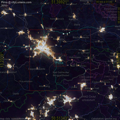
Analysis of Pirna night lights 2016
Square area 10x10 km:
 3.78%
3.78%90-99
2.1%80-89
2.8%70-79
2.8%60-69
0.56%50-59
1.12%40-49
0.14%30-39
1.96%20-29
1.54%10-19
25.07%0-9
58.12%Square area 50x50 km:
1.86%90-99
1.87%80-89
0.76%70-79
1.09%60-69
1.17%50-59
1.45%40-49
1.2%30-39
1.69%20-29
2.25%10-19
6.76%0-9
79.92%Clear (daylight) street map image can be seen on geolist.org.
Map coordinates:
51° 23' 57.2" North, 13° 14' 2" East
50° 57' 30.3" North, 13° 56' 13.3" East
50° 30' 48.3" North, 14° 38' 24.5" East
Some cities around Pirna sort by population:
• Dresden
17.3 km =10.7 mi,  306°
306°
• Freital
20.7 km =12.9 mi,  283°
283°
• Radeberg
17.1 km =10.6 mi,  354°
354°
• Heidenau
5.1 km =3.2 mi,  287°
287°
• Dippoldiswalde
20 km =12.4 mi,  249°
249°
• Bannewitz
15.9 km =9.9 mi, 283°
• Stolpen
14.2 km =8.8 mi,  44°
44°
• Dohna
5.5 km =3.4 mi,  267°
267°
2853572 (p: 40,322)
Sources (retrieved 2019-11-25):
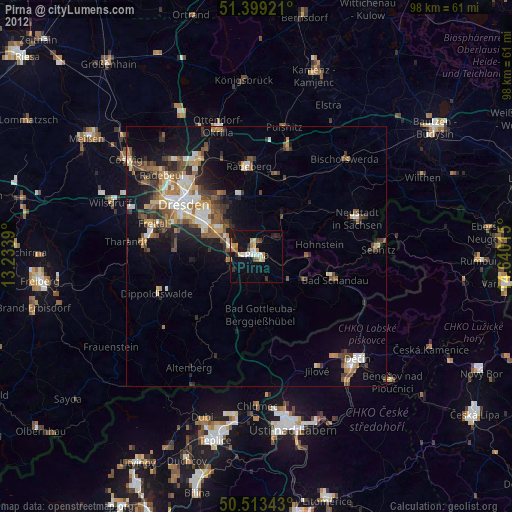
» Earth at Night: Flat Maps 2012, 2016