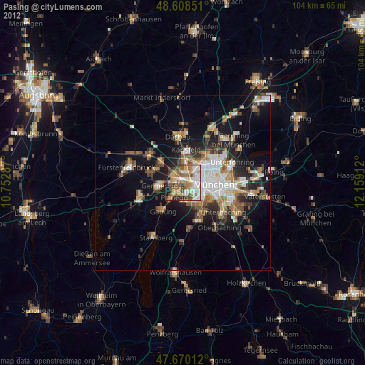
Pasing night lights from space
Night Light of Pasing (Bavaria) from space (Germany) Src. Average luminocity for 10x10km area is 69.3616% and for 50x50km: 19.8566%.
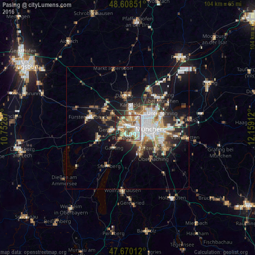
Analysis of Pasing night lights 2016
Square area 10x10 km:
 13.84%
90-99
18.75%80-89
11.76%70-79
10.27%60-69
9.08%50-59
11.76%40-49
6.7%30-39
4.76%20-29
11.01%10-19
2.08%0-9
0%Square area 50x50 km:
4.15%90-99
4.01%80-89
1.9%70-79
1.92%60-69
2.39%50-59
2.53%40-49
2.27%30-39
2.81%20-29
5.17%10-19
11.98%0-9
60.88%Clear (daylight) street map image can be seen on geolist.org.
Map coordinates:
48° 36' 30.6" North, 10° 45' 10.3" East
48° 8' 29.3" North, 11° 27' 21.6" East
47° 40' 12.4" North, 12° 9' 32.8" East
Some cities around Pasing sort by population:
• Munich
8.9 km =5.5 mi,  92°
92°
• Germering
6 km =3.7 mi,  261°
261°
• Puchheim
7.9 km =4.9 mi,  276°
276°
• Gröbenzell
9.3 km =5.8 mi,  314°
314°
• Gräfelfing
3.2 km =2 mi,  218°
218°
• Planegg
4.5 km =2.8 mi,  210°
210°
• Krailling
6.2 km =3.9 mi, 222°
• Neuried
5.4 km =3.4 mi,  172°
172°
2855334 (p: 35,728)
Sources (retrieved 2019-11-25):
» Earth at Night: Flat Maps 2012, 2016