Obergünzburg night lights from space
Night Light of Obergünzburg (Bavaria) from space (Germany) Src. Average luminocity for 10x10km area is 0.4732% and for 50x50km: 3.1309%.
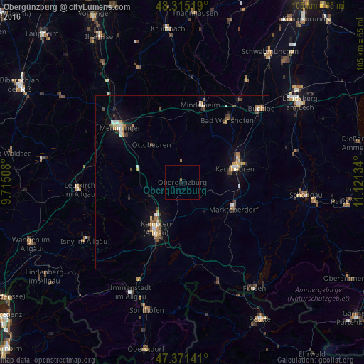
Analysis of Obergünzburg night lights 2016
Square area 10x10 km:
 0%
0%90-99
0%80-89
0%70-79
0%60-69
0%50-59
0.6%40-49
0%30-39
0%20-29
0%10-19
0.6%0-9
98.81%Square area 50x50 km:
0.32%90-99
0.41%80-89
0.32%70-79
0.57%60-69
0.31%50-59
0.42%40-49
0.37%30-39
0.49%20-29
0.43%10-19
1.88%0-9
94.47%Clear (daylight) street map image can be seen on geolist.org.
Map coordinates:
48° 18' 54.7" North, 9° 42' 54.3" East
47° 50' 43.6" North, 10° 25' 5.6" East
47° 22' 17.1" North, 11° 7' 16.8" East
Some cities around Obergünzburg sort by population:
• Kempten (Allgäu)
15.3 km =9.5 mi,  210°
210°
• Kaufbeuren
15.7 km =9.8 mi,  74°
74°
• Marktoberdorf
16.6 km =10.3 mi,  116°
116°
• Altusried
15.9 km =9.9 mi,  253°
253°
• Waltenhofen
20.9 km =13 mi,  203°
203°
• Ottobeuren
13.8 km =8.6 mi,  320°
320°
• Dietmannsried
10.5 km =6.5 mi, 246°
• Durach
17.7 km =11 mi, 198°
2860540 (p: 6,424)
Sources (retrieved 2019-11-25):
» Earth at Night: Flat Maps 2012, 2016