Dietmannsried night lights from space
Night Light of Dietmannsried (Bavaria) from space (Germany) Src. Average luminocity for 10x10km area is 2.1295% and for 50x50km: 2.5453%.
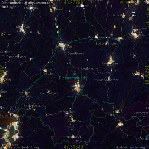
Analysis of Dietmannsried night lights 2016
Square area 10x10 km:
 0%
0%90-99
0%80-89
0%70-79
0%60-69
0.6%50-59
0%40-49
0%30-39
0.6%20-29
0.6%10-19
2.23%0-9
95.98%Square area 50x50 km:
0.26%90-99
0.32%80-89
0.28%70-79
0.46%60-69
0.24%50-59
0.38%40-49
0.29%30-39
0.39%20-29
0.35%10-19
1.68%0-9
95.36%Clear (daylight) street map image can be seen on geolist.org.
Map coordinates:
48° 16' 40.7" North, 9° 35' 10.9" East
47° 48' 28.3" North, 10° 17' 22.1" East
47° 20' 0.6" North, 10° 59' 33.4" East
Some cities around Dietmannsried sort by population:
• Kempten (Allgäu)
9.2 km =5.7 mi,  168°
168°
• Memmingen
21 km =13 mi,  338°
338°
• Leutkirch
20.2 km =12.6 mi,  275°
275°
• Altusried
5.6 km =3.5 mi,  265°
265°
• Waltenhofen
15 km =9.3 mi, 174°
• Ottobeuren
14.9 km =9.3 mi,  2°
2°
• Durach
13.3 km =8.3 mi,  161°
161°
• Obergünzburg
10.5 km =6.5 mi,  66°
66°
2937077 (p: 8,044)
Sources (retrieved 2019-11-25):
» Earth at Night: Flat Maps 2012, 2016