Nordholz night lights from space
Night Light of Nordholz (Lower Saxony) from space (Germany) Src. Average luminocity for 10x10km area is 0.8042% and for 50x50km: 2.1748%.
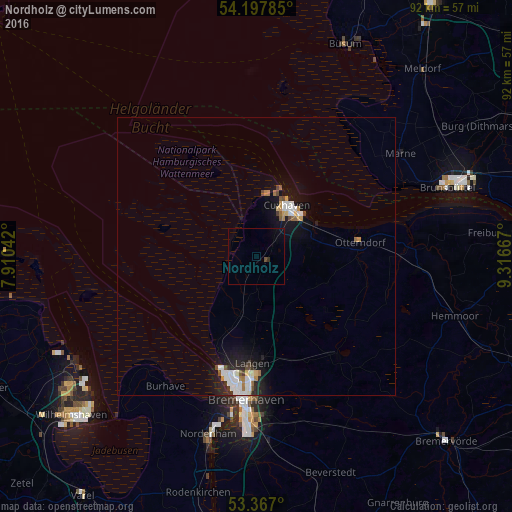
Analysis of Nordholz night lights 2016
Square area 10x10 km:
 0%
0%90-99
0%80-89
0%70-79
0%60-69
0%50-59
0%40-49
0.53%30-39
0.53%20-29
0%10-19
0%0-9
98.94%Square area 50x50 km:
0.48%90-99
0.45%80-89
0.11%70-79
0.21%60-69
0.23%50-59
0.18%40-49
0.23%30-39
0.17%20-29
0.42%10-19
1.83%0-9
95.68%Clear (daylight) street map image can be seen on geolist.org.
Map coordinates:
54° 11' 52.3" North, 7° 54' 37.5" East
53° 47' 4.1" North, 8° 36' 48.7" East
53° 22' 1.2" North, 9° 19' 0" East
Some cities around Nordholz sort by population:
• Bremerhaven
26.2 km =16.3 mi,  185°
185°
• Cuxhaven
11 km =6.8 mi,  27°
27°
• Nordenham
34.3 km =21.3 mi, 194°
• Langen
19.9 km =12.4 mi,  183°
183°
• Schiffdorf
28 km =17.4 mi, 175°
• Brunsbüttel
34.5 km =21.4 mi,  69°
69°
• Otterndorf
19.1 km =11.9 mi,  81°
81°
• Butjadingen
32.1 km =19.9 mi,  214°
214°
2861939 (p: 7,616)
Sources (retrieved 2019-11-25):
» Earth at Night: Flat Maps 2012, 2016