Cuxhaven night lights from space
Night Light of Cuxhaven (Lower Saxony) from space (Germany) Src. Average luminocity for 10x10km area is 20.4259% and for 50x50km: 0.9161%.
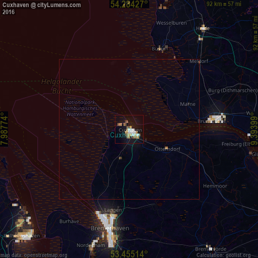
Analysis of Cuxhaven night lights 2016
Square area 10x10 km:
 3.84%
3.84%90-99
3.04%80-89
1.32%70-79
3.97%60-69
2.51%50-59
2.38%40-49
2.78%30-39
1.32%20-29
0.13%10-19
19.84%0-9
58.86%Square area 50x50 km:
0.15%90-99
0.12%80-89
0.05%70-79
0.17%60-69
0.11%50-59
0.11%40-49
0.13%30-39
0.07%20-29
0.01%10-19
0.84%0-9
98.25%Clear (daylight) street map image can be seen on geolist.org.
Map coordinates:
54° 17' 3.4" North, 7° 59' 15.9" East
53° 52' 18.3" North, 8° 41' 27.1" East
53° 27' 18.5" North, 9° 23' 38.4" East
Some cities around Cuxhaven sort by population:
• Bremerhaven
36.5 km =22.7 mi,  191°
191°
• Langen
30.3 km =18.8 mi, 192°
• Schiffdorf
37.7 km =23.4 mi,  184°
184°
• Brunsbüttel
27.3 km =17 mi,  84°
84°
• Hemmoor
36.8 km =22.9 mi,  123°
123°
• Meldorf
34.8 km =21.6 mi,  45°
45°
• Nordholz
11 km =6.8 mi,  207°
207°
• Otterndorf
15.4 km =9.6 mi, 116°
2939658 (p: 52,677)
Sources (retrieved 2019-11-25):
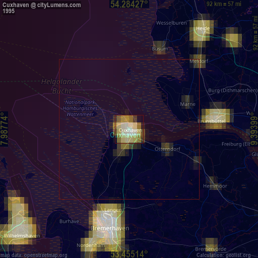
» NASA, Earths city lights 1995
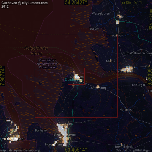
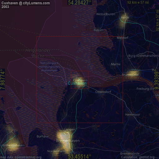
» NASA city lights 2003
» Earth at Night: Flat Maps 2012, 2016