Nidda night lights from space
Night Light of Nidda (Hesse) from space (Germany) Src. Average luminocity for 10x10km area is 1.3123% and for 50x50km: 3.8133%.
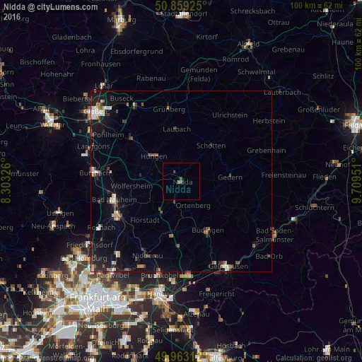
Analysis of Nidda night lights 2016
Square area 10x10 km:
 0%
0%90-99
0%80-89
0%70-79
0%60-69
0.56%50-59
0.56%40-49
1.12%30-39
0%20-29
0%10-19
0%0-9
97.76%Square area 50x50 km:
0.4%90-99
0.53%80-89
0.46%70-79
0.23%60-69
0.43%50-59
0.49%40-49
0.7%30-39
0.49%20-29
0.85%10-19
3.01%0-9
92.4%Clear (daylight) street map image can be seen on geolist.org.
Map coordinates:
50° 51' 33.3" North, 8° 18' 11.7" East
50° 24' 47.9" North, 9° 0' 23" East
49° 57' 47.2" North, 9° 42' 34.2" East
Some cities around Nidda sort by population:
• Schotten
13.1 km =8.1 mi,  39°
39°
• Laubach
14.4 km =8.9 mi,  355°
355°
• Wölfersheim
13.5 km =8.4 mi,  263°
263°
• Ortenberg
7.3 km =4.5 mi,  151°
151°
• Gedern
13.7 km =8.5 mi,  84°
84°
• Reichelsheim
11.3 km =7 mi,  235°
235°
• Echzell
8.9 km =5.5 mi,  252°
252°
• Ranstadt
6.4 km =4 mi,  194°
194°
2863716 (p: 18,241)
Sources (retrieved 2019-11-25):
» Earth at Night: Flat Maps 2012, 2016