Schotten night lights from space
Night Light of Schotten (Hesse) from space (Germany) Src. Average luminocity for 10x10km area is 0.1597% and for 50x50km: 0.5785%.
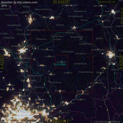
Analysis of Schotten night lights 2016
Square area 10x10 km:
 0%
0%90-99
0%80-89
0%70-79
0%60-69
0%50-59
0%40-49
0%30-39
0%20-29
0.56%10-19
0%0-9
99.44%Square area 50x50 km:
0.02%90-99
0.01%80-89
0.02%70-79
0.04%60-69
0.14%50-59
0.22%40-49
0.18%30-39
0.15%20-29
0.16%10-19
0.2%0-9
98.87%Clear (daylight) street map image can be seen on geolist.org.
Map coordinates:
50° 56' 54.8" North, 8° 25' 19.3" East
50° 30' 12.5" North, 9° 7' 30.6" East
50° 3' 14.9" North, 9° 49' 41.8" East
Some cities around Schotten sort by population:
• Nidda
13.1 km =8.1 mi,  219°
219°
• Grünberg
15.5 km =9.6 mi,  310°
310°
• Laubach
10.4 km =6.5 mi,  294°
294°
• Ortenberg
17.1 km =10.6 mi,  196°
196°
• Gedern
10.2 km =6.3 mi,  149°
149°
• Grebenhain
15.2 km =9.4 mi,  95°
95°
• Herbstein
16.9 km =10.5 mi,  67°
67°
• Ranstadt
19.1 km =11.9 mi,  211°
211°
2836251 (p: 11,566)
Sources (retrieved 2019-11-25):
» Earth at Night: Flat Maps 2012, 2016