Neustadt/Süd night lights from space
Night Light of Neustadt/Süd (North Rhine-Westphalia) from space (Germany) Src. Average luminocity for 10x10km area is 86.3291% and for 50x50km: 33.2119%.
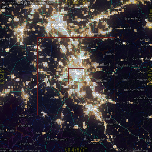
Analysis of Neustadt/Süd night lights 2016
Square area 10x10 km:
 36.41%
90-99
28.43%80-89
5.46%70-79
4.9%60-69
10.08%50-59
8.68%40-49
5.88%30-39
0.14%20-29
0%10-19
0%0-9
0%Square area 50x50 km:
6.18%90-99
6.68%80-89
3.08%70-79
3.11%60-69
4.5%50-59
4.73%40-49
4.81%30-39
7.04%20-29
9.03%10-19
16.87%0-9
33.96%Clear (daylight) street map image can be seen on geolist.org.
Map coordinates:
51° 21' 58.3" North, 6° 14' 40.2" East
50° 55' 30.3" North, 6° 56' 51.4" East
50° 28' 47.2" North, 7° 39' 2.7" East
Some cities around Neustadt/Süd sort by population:
• Köln
0.9 km =0.6 mi,  10°
10°
• Altstadt Sud
1.2 km =0.7 mi,  42°
42°
• Neuehrenfeld
3.7 km =2.3 mi,  347°
347°
• Altstadt Nord
1.7 km =1.1 mi,  24°
24°
• Deutz
2.2 km =1.4 mi,  61°
61°
• Humboldtkolonie
3.4 km =2.1 mi,  77°
77°
• Poll
3.3 km =2.1 mi,  114°
114°
• Bayenthal
2 km =1.2 mi,  135°
135°
8593856 (p: 37,939)
Sources (retrieved 2019-11-25):
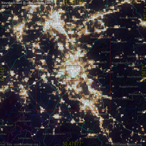
» Earth at Night: Flat Maps 2012, 2016