Neustadt night lights from space
Night Light of Neustadt (Rheinland-Pfalz) from space (Germany) Src. Average luminocity for 10x10km area is 19.1537% and for 50x50km: 13.6872%.
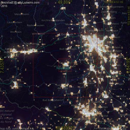
Analysis of Neustadt night lights 2016
Square area 10x10 km:
 3.61%
3.61%90-99
2.27%80-89
0.67%70-79
1.07%60-69
3.34%50-59
2.14%40-49
4.01%30-39
1.07%20-29
3.61%10-19
23.53%0-9
54.68%Square area 50x50 km:
2.72%90-99
2.73%80-89
0.97%70-79
1.03%60-69
1.35%50-59
1.24%40-49
1.97%30-39
2.14%20-29
3.13%10-19
9.59%0-9
73.11%Clear (daylight) street map image can be seen on geolist.org.
Map coordinates:
49° 48' 21.6" North, 7° 26' 8.7" East
49° 21' 0.3" North, 8° 8' 19.9" East
48° 53' 23.7" North, 8° 50' 31.2" East
Some cities around Neustadt sort by population:
• Landau in der Pfalz
16.9 km =10.5 mi,  185°
185°
• Haßloch
8.7 km =5.4 mi,  80°
80°
• Schifferstadt
17.7 km =11 mi, 77°
• Bad Dürkheim
12.7 km =7.9 mi,  11°
11°
• Böhl-Iggelheim
12.4 km =7.7 mi,  74°
74°
• Dannstadt-Schauernheim
15.9 km =9.9 mi,  50°
50°
• Edenkoben
7.4 km =4.6 mi, 186°
• Lachen-Speyerdorf
4.9 km =3 mi,  116°
116°
2864054 (p: 53,984)
Sources (retrieved 2019-11-25):
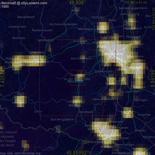
» NASA, Earths city lights 1995
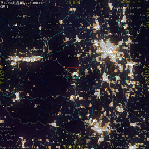
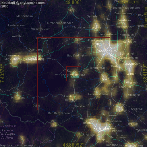
» NASA city lights 2003
» Earth at Night: Flat Maps 2012, 2016