Haßloch night lights from space
Night Light of Haßloch (Rheinland-Pfalz) from space (Germany) Src. Average luminocity for 10x10km area is 9.5094% and for 50x50km: 20.1515%.
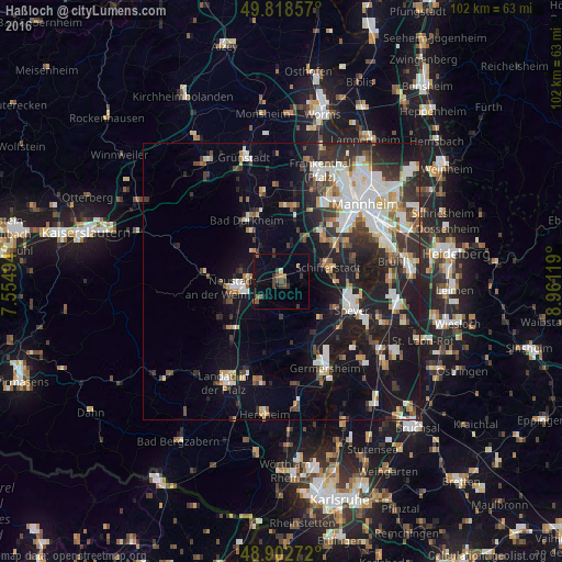
Analysis of Haßloch night lights 2016
Square area 10x10 km:
 0%
0%90-99
0.53%80-89
0%70-79
0%60-69
1.87%50-59
2.41%40-49
3.21%30-39
3.61%20-29
0.8%10-19
5.08%0-9
82.49%Square area 50x50 km:
4%90-99
4.3%80-89
1.72%70-79
1.48%60-69
1.96%50-59
1.86%40-49
2.52%30-39
3.05%20-29
5.95%10-19
15.1%0-9
58.06%Clear (daylight) street map image can be seen on geolist.org.
Map coordinates:
49° 49' 6.9" North, 7° 33' 17.8" East
49° 21' 46" North, 8° 15' 29" East
48° 54' 9.8" North, 8° 57' 40.3" East
Some cities around Haßloch sort by population:
• Neustadt
8.7 km =5.4 mi,  260°
260°
• Schifferstadt
9 km =5.6 mi,  74°
74°
• Mutterstadt
11.3 km =7 mi,  39°
39°
• Böhl-Iggelheim
3.9 km =2.4 mi,  59°
59°
• Limburgerhof
11.9 km =7.4 mi,  54°
54°
• Dannstadt-Schauernheim
9.4 km =5.8 mi,  22°
22°
• Dudenhofen
10.7 km =6.6 mi,  117°
117°
• Lachen-Speyerdorf
5.5 km =3.4 mi,  229°
229°
2909313 (p: 20,779)
Sources (retrieved 2019-11-25):
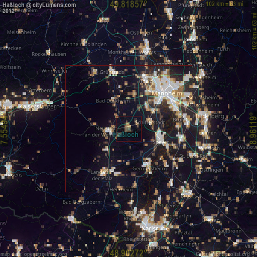
» Earth at Night: Flat Maps 2012, 2016