Murg night lights from space
Night Light of Murg (Baden-Württemberg) from space (Germany) Src. Average luminocity for 10x10km area is 13.4645% and for 50x50km: 11.3814%.
Analysis of Murg night lights 2016
Square area 10x10 km:
 1.42%
1.42%90-99
0.57%80-89
1.42%70-79
1.14%60-69
2.27%50-59
5.68%40-49
1.14%30-39
0.28%20-29
1.14%10-19
5.4%0-9
79.55%Square area 50x50 km:
0.96%90-99
1.49%80-89
0.8%70-79
1.17%60-69
1.81%50-59
1.83%40-49
1.85%30-39
1.45%20-29
2.95%10-19
14.83%0-9
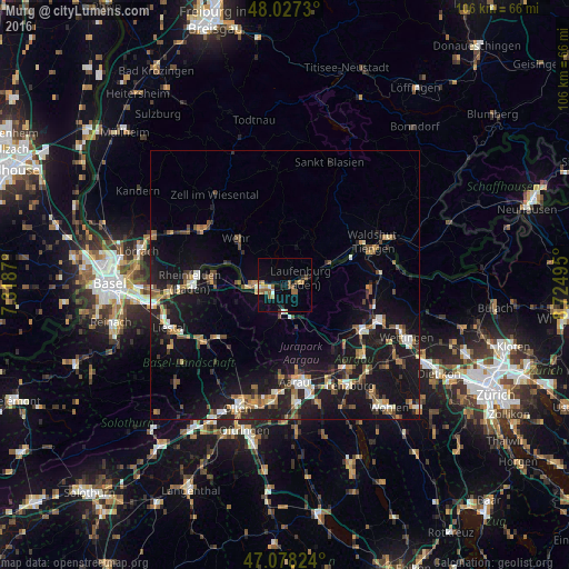
70.85%Clear (daylight) street map image can be seen on geolist.org.
Map coordinates:
48° 1' 38.3" North, 7° 19' 7.3" East
47° 33' 17.7" North, 8° 1' 18.6" East
47° 4' 41.7" North, 8° 43' 29.8" East
Some cities around Murg sort by population:
• Bad Säckingen
5.7 km =3.5 mi,  268°
268°
• Wehr
12.1 km =7.5 mi,  313°
313°
• Möhlin, CH
13.4 km =8.3 mi, 272°
• Brugg, CH
16.3 km =10.1 mi,  120°
120°
• Laufenburg
3.1 km =1.9 mi,  68°
68°
• Albbruck
9 km =5.6 mi,  63°
63°
• Gelterkinden, CH
16.2 km =10.1 mi,  231°
231°
• Küttigen, CH
15.7 km =9.8 mi,  172°
172°
2867467 (p: 6,821)
Sources (retrieved 2019-11-25):
» Earth at Night: Flat Maps 2012, 2016