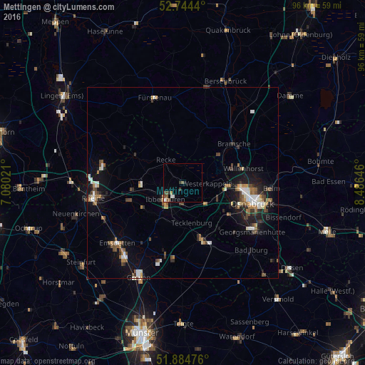
Mettingen night lights from space
Night Light of Mettingen (North Rhine-Westphalia) from space (Germany) Src. Average luminocity for 10x10km area is 5.6275% and for 50x50km: 5.4468%.
Analysis of Mettingen night lights 2016
Square area 10x10 km:
 0.63%
0.63%90-99
0.88%80-89
0.13%70-79
0.63%60-69
0.25%50-59
2.4%40-49
1.14%30-39
1.39%20-29
0.13%10-19
0.51%0-9
91.92%Square area 50x50 km:
0.66%90-99
0.84%80-89
0.36%70-79
0.46%60-69
0.87%50-59
0.89%40-49
0.83%30-39
0.91%20-29
1.13%10-19
3.85%0-9
89.21%Clear (daylight) street map image can be seen on geolist.org.
Map coordinates:
52° 44' 39.8" North, 7° 4' 48.8" East
52° 19' 0" North, 7° 46' 60" East
51° 53' 5.1" North, 8° 29' 11.3" East
Some cities around Mettingen sort by population:
• Ibbenbüren
6.2 km =3.9 mi,  228°
228°
• Lengerich
15.4 km =9.6 mi,  160°
160°
• Hörstel
13.7 km =8.5 mi,  261°
261°
• Lotte
9.8 km =6.1 mi,  112°
112°
• Recke
7.2 km =4.5 mi,  323°
323°
• Westerkappeln
6.8 km =4.2 mi,  90°
90°
• Hasbergen
15 km =9.3 mi,  126°
126°
• Tecklenburg
11 km =6.8 mi,  169°
169°
2871540 (p: 12,532)
Sources (retrieved 2019-11-25):
» Earth at Night: Flat Maps 2012, 2016