Lengerich night lights from space
Night Light of Lengerich (North Rhine-Westphalia) from space (Germany) Src. Average luminocity for 10x10km area is 4.3704% and for 50x50km: 6.0275%.
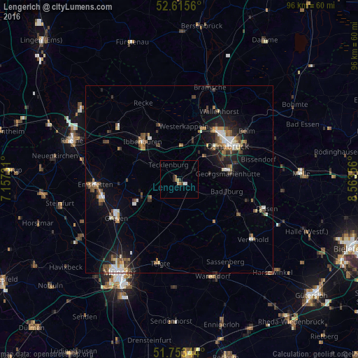
Analysis of Lengerich night lights 2016
Square area 10x10 km:
 0.66%
0.66%90-99
0.4%80-89
0.53%70-79
0.53%60-69
1.06%50-59
0.53%40-49
0.4%30-39
0.53%20-29
1.19%10-19
0.53%0-9
93.65%Square area 50x50 km:
0.69%90-99
0.89%80-89
0.45%70-79
0.56%60-69
0.89%50-59
1.01%40-49
0.97%30-39
0.97%20-29
1.29%10-19
4.02%0-9
88.26%Clear (daylight) street map image can be seen on geolist.org.
Map coordinates:
52° 36' 56.2" North, 7° 9' 26.3" East
52° 11' 11.8" North, 7° 51' 37.5" East
51° 45' 12.4" North, 8° 33' 48.8" East
Some cities around Lengerich sort by population:
• Georgsmarienhütte
12.7 km =7.9 mi,  81°
81°
• Hagen
8.2 km =5.1 mi, 82°
• Lotte
11.4 km =7.1 mi,  19°
19°
• Bad Iburg
12.9 km =8 mi,  105°
105°
• Hasbergen
8.9 km =5.5 mi,  50°
50°
• Tecklenburg
4.9 km =3 mi,  318°
318°
• Lienen
9.3 km =5.8 mi,  115°
115°
• Ladbergen
9.6 km =6 mi,  231°
231°
2878840 (p: 22,697)
Sources (retrieved 2019-11-25):
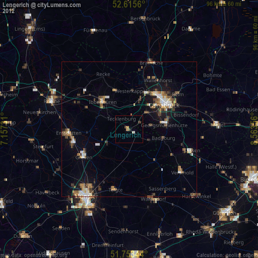
» Earth at Night: Flat Maps 2012, 2016