Ibbenbüren night lights from space
Night Light of Ibbenbüren (North Rhine-Westphalia) from space (Germany) Src. Average luminocity for 10x10km area is 9.5808% and for 50x50km: 5.347%.
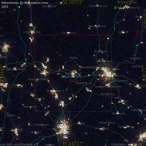
Analysis of Ibbenbüren night lights 2016
Square area 10x10 km:
 0.63%
0.63%90-99
0.88%80-89
0.13%70-79
2.4%60-69
0.38%50-59
3.54%40-49
1.64%30-39
2.78%20-29
0.25%10-19
0.76%0-9
86.62%Square area 50x50 km:
0.66%90-99
0.82%80-89
0.32%70-79
0.52%60-69
0.77%50-59
0.97%40-49
0.74%30-39
0.85%20-29
1.09%10-19
3.36%0-9
89.93%Clear (daylight) street map image can be seen on geolist.org.
Map coordinates:
52° 42' 27.8" North, 7° 0' 41.2" East
52° 16' 46.7" North, 7° 42' 52.5" East
51° 50' 50.5" North, 8° 25' 3.7" East
Some cities around Ibbenbüren sort by population:
• Lengerich
14.3 km =8.9 mi,  136°
136°
• Hörstel
9.1 km =5.7 mi,  282°
282°
• Lotte
13.8 km =8.6 mi,  88°
88°
• Mettingen
6.2 km =3.9 mi,  48°
48°
• Recke
9.9 km =6.2 mi,  2°
2°
• Westerkappeln
12.2 km =7.6 mi,  70°
70°
• Tecklenburg
9.5 km =5.9 mi,  134°
134°
• Saerbeck
13 km =8.1 mi,  204°
204°
2896817 (p: 50,577)
Sources (retrieved 2019-11-25):
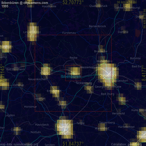
» NASA, Earths city lights 1995
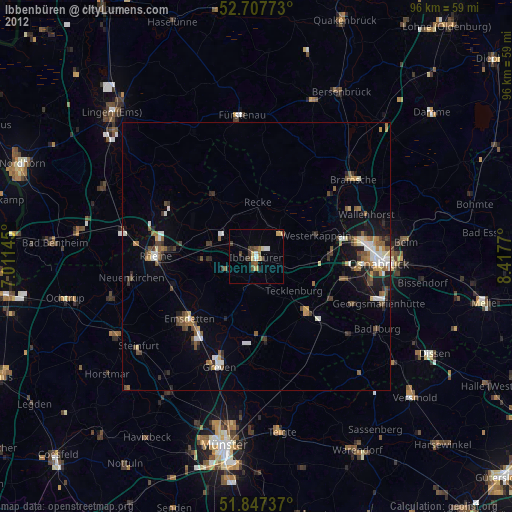
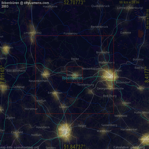
» NASA city lights 2003
» Earth at Night: Flat Maps 2012, 2016