Meldorf night lights from space
Night Light of Meldorf (Schleswig-Holstein) from space (Germany) Src. Average luminocity for 10x10km area is 0.3548% and for 50x50km: 1.3133%.
Analysis of Meldorf night lights 2016
Square area 10x10 km:
 0%
0%90-99
0%80-89
0%70-79
0%60-69
0%50-59
0.51%40-49
0%30-39
0%20-29
0%10-19
0%0-9
99.49%Square area 50x50 km:
0.21%90-99
0.24%80-89
0.08%70-79
0.13%60-69
0.07%50-59
0.13%40-49
0.26%30-39
0.21%20-29
0.16%10-19
1.03%0-9
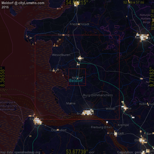
97.49%Clear (daylight) street map image can be seen on geolist.org.
Map coordinates:
54° 30' 7.7" North, 8° 21' 56.1" East
54° 5' 30.6" North, 9° 4' 7.3" East
53° 40' 38.6" North, 9° 46' 18.6" East
Some cities around Meldorf sort by population:
• Cuxhaven
34.8 km =21.6 mi,  225°
225°
• Itzehoe
34.8 km =21.6 mi,  123°
123°
• Heide
11.7 km =7.3 mi,  9°
9°
• Brunsbüttel
22 km =13.7 mi,  173°
173°
• Otterndorf
33.3 km =20.7 mi,  199°
199°
• Hohenlockstedt
38.4 km =23.9 mi,  111°
111°
• Hohenwestedt
38.1 km =23.7 mi,  90°
90°
• Tönning
26.5 km =16.5 mi,  341°
341°
2872100 (p: 7,719)
Sources (retrieved 2019-11-25):
» Earth at Night: Flat Maps 2012, 2016