Itzehoe night lights from space
Night Light of Itzehoe (Schleswig-Holstein) from space (Germany) Src. Average luminocity for 10x10km area is 9.7394% and for 50x50km: 2.3594%.
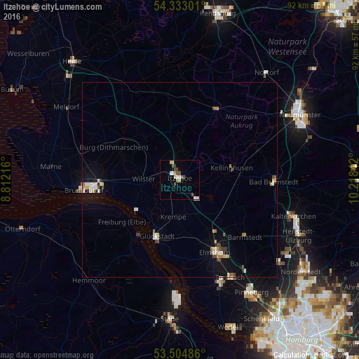
Analysis of Itzehoe night lights 2016
Square area 10x10 km:
 1.72%
1.72%90-99
1.06%80-89
1.59%70-79
1.06%60-69
0.26%50-59
2.38%40-49
2.65%30-39
0.53%20-29
0%10-19
0.13%0-9
88.62%Square area 50x50 km:
0.34%90-99
0.41%80-89
0.27%70-79
0.29%60-69
0.2%50-59
0.28%40-49
0.36%30-39
0.16%20-29
0.09%10-19
1.44%0-9
96.16%Clear (daylight) street map image can be seen on geolist.org.
Map coordinates:
54° 19' 58.8" North, 8° 48' 43.8" East
53° 55' 15.6" North, 9° 30' 55" East
53° 30' 17.5" North, 10° 13' 6.3" East
Some cities around Itzehoe sort by population:
• Elmshorn
20.7 km =12.9 mi,  153°
153°
• Bad Bramstedt
24.2 km =15 mi,  90°
90°
• Glückstadt
15.8 km =9.8 mi,  201°
201°
• Barmstedt
21.9 km =13.6 mi,  130°
130°
• Kellinghusen
13.8 km =8.6 mi,  75°
75°
• Hohenlockstedt
8.4 km =5.2 mi,  52°
52°
• Horst
14 km =8.7 mi, 149°
• Hohenwestedt
20.7 km =12.9 mi,  25°
25°
2895569 (p: 33,047)
Sources (retrieved 2019-11-25):
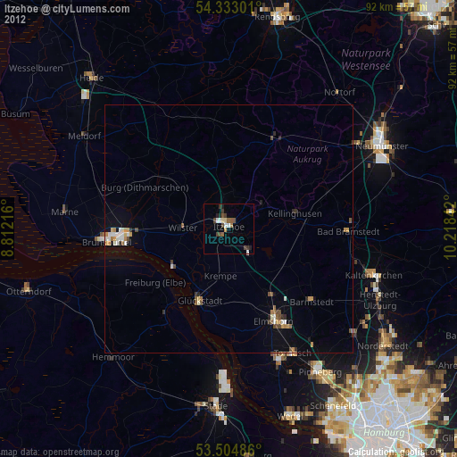
» Earth at Night: Flat Maps 2012, 2016