Tönning night lights from space
Night Light of Tönning (Schleswig-Holstein) from space (Germany) Src. Average luminocity for 10x10km area is 1.4762% and for 50x50km: 0.8053%.
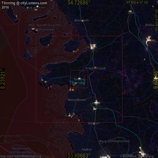
Analysis of Tönning night lights 2016
Square area 10x10 km:
 0%
0%90-99
0%80-89
0%70-79
0.5%60-69
0.5%50-59
0%40-49
0.5%30-39
1.13%20-29
0.38%10-19
0%0-9
96.99%Square area 50x50 km:
0.05%90-99
0.1%80-89
0.04%70-79
0.09%60-69
0.04%50-59
0.15%40-49
0.36%30-39
0.27%20-29
0.14%10-19
0.06%0-9
98.68%Clear (daylight) street map image can be seen on geolist.org.
Map coordinates:
54° 43' 36.7" North, 8° 14' 21.2" East
54° 19' 7.6" North, 8° 56' 32.4" East
53° 54' 23.9" North, 9° 38' 43.7" East
Some cities around Tönning sort by population:
• Schleswig
45.8 km =28.5 mi,  60°
60°
• Husum
19.9 km =12.4 mi,  20°
20°
• Heide
17 km =10.6 mi,  143°
143°
• Meldorf
26.5 km =16.5 mi,  161°
161°
• Fockbek
42.7 km =26.5 mi,  92°
92°
• Kropp
38.8 km =24.1 mi,  73°
73°
• Westerrönfeld
46.1 km =28.6 mi, 94°
• Bredstedt
33.4 km =20.8 mi,  2°
2°
2821878 (p: 5,008)
Sources (retrieved 2019-11-25):
» Earth at Night: Flat Maps 2012, 2016