Georgsmarienhütte night lights from space
Night Light of Georgsmarienhütte (Lower Saxony) from space (Germany) Src. Average luminocity for 10x10km area is 10.9643% and for 50x50km: 4.1795%.
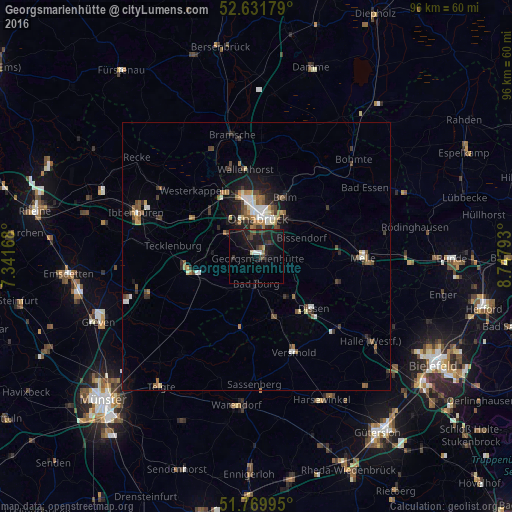
Analysis of Georgsmarienhütte night lights 2016
Square area 10x10 km:
 0.53%
0.53%90-99
1.06%80-89
0.53%70-79
0.53%60-69
0.13%50-59
1.19%40-49
1.85%30-39
4.1%20-29
4.76%10-19
18.12%0-9
67.2%Square area 50x50 km:
0.42%90-99
0.62%80-89
0.33%70-79
0.35%60-69
0.71%50-59
0.66%40-49
0.66%30-39
0.9%20-29
0.96%10-19
2.63%0-9
91.74%Clear (daylight) street map image can be seen on geolist.org.
Map coordinates:
52° 37' 54.4" North, 7° 20' 30" East
52° 12' 10.7" North, 8° 2' 41.3" East
51° 46' 11.8" North, 8° 44' 52.5" East
Some cities around Georgsmarienhütte sort by population:
• Osnabrück
7.8 km =4.8 mi,  2°
2°
• Bissendorf
9 km =5.6 mi,  67°
67°
• Hagen
4.5 km =2.8 mi,  260°
260°
• Bad Iburg
5.3 km =3.3 mi,  181°
181°
• Hasbergen
6.9 km =4.3 mi,  304°
304°
• Hilter
10.2 km =6.3 mi,  136°
136°
• Bad Laer
11.7 km =7.3 mi,  167°
167°
• Lienen
7.2 km =4.5 mi,  215°
215°
2921242 (p: 32,580)
Sources (retrieved 2019-11-25):
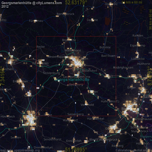
» Earth at Night: Flat Maps 2012, 2016