Leipheim night lights from space
Night Light of Leipheim (Bavaria) from space (Germany) Src. Average luminocity for 10x10km area is 13.1023% and for 50x50km: 7.9337%.
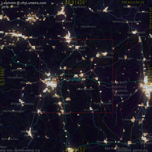
Analysis of Leipheim night lights 2016
Square area 10x10 km:
 0.85%
0.85%90-99
2.98%80-89
0.71%70-79
1.7%60-69
0.99%50-59
2.13%40-49
2.56%30-39
3.69%20-29
1.42%10-19
4.26%0-9
78.69%Square area 50x50 km:
0.97%90-99
1.19%80-89
0.65%70-79
0.88%60-69
0.97%50-59
0.84%40-49
1.39%30-39
1.38%20-29
1.74%10-19
5.1%0-9
84.91%Clear (daylight) street map image can be seen on geolist.org.
Map coordinates:
48° 54' 51.3" North, 9° 31' 10.8" East
48° 27' 0.1" North, 10° 13' 22" East
47° 58' 53.5" North, 10° 55' 33.3" East
Some cities around Leipheim sort by population:
• Günzburg
4 km =2.5 mi,  80°
80°
• Langenau
9.2 km =5.7 mi,  303°
303°
• Burgau
14 km =8.7 mi,  98°
98°
• Nersingen
7.7 km =4.8 mi,  251°
251°
• Ichenhausen
10.7 km =6.6 mi,  144°
144°
• Gundelfingen
15.9 km =9.9 mi,  43°
43°
• Pfaffenhofen an der Roth
11.5 km =7.1 mi,  202°
202°
• Sontheim an der Brenz
12.4 km =7.7 mi,  23°
23°
2879150 (p: 6,822)
Sources (retrieved 2019-11-25):
» Earth at Night: Flat Maps 2012, 2016